
Hide
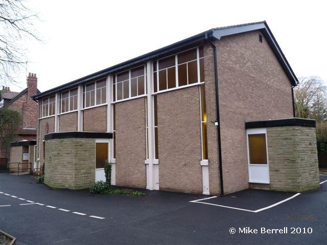
St Pius X, Alderley Edge, Roman Catholic
hide
Hide
Hide
St Pius X,
Stamford Road,
Alderley Edge
Hide
It was founded in 1946.
Church History
Opened in 1946.
Church Records
C = Christenings (Baptisms) ; M = Marriages ; B = Burials ; Conf = Confirmations
| Original Registers | Church (?) |
| Copies and Indexes | M 1983-1996 — Cheshire BMD (CE:2096) |
It is located at SJ8450078494 (Lat/Lon 53.303161, -2.234046). You can see this on maps provided by:
- OpenStreetMap
- Google Maps
- StreetMap (Current Ordnance Survey maps)
- Bing (was Multimap)
- Old Maps Online
- National Library of Scotland (Old Ordnance Survey maps)
- Vision of Britain (Click "Historical units & statistics" for administrative areas.)
- English Jurisdictions in 1851 (Unfortunately the LDS have removed the facility to enable us to specify a starting location, you will need to search yourself on their map.)
- Magic (Geographic information) (Click + on map if it doesn't show)
- GeoHack (Links to on-line maps and location specific services.)