
Hide
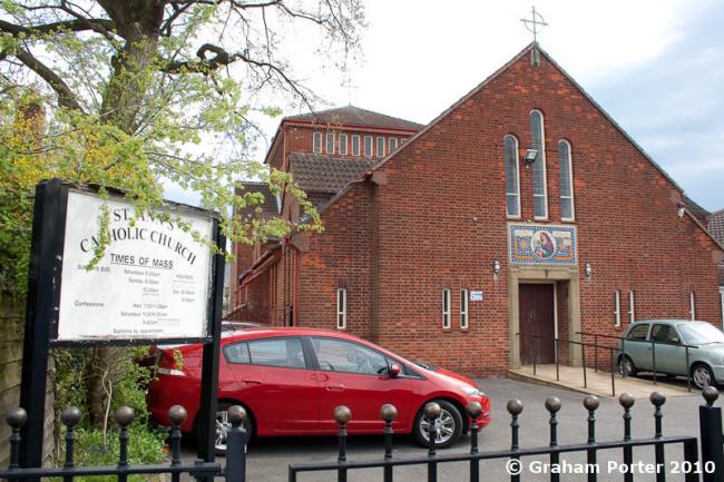
St Ann, Cheadle Hulme, Roman Catholic
hide
Hide
Hide
St Ann,
Vicarage Avenue,
Cheadle Hulme
Hide
Vicarage Avenue.
Church History
Founded in 1952.
Church Records
C = Christenings (Baptisms) ; M = Marriages ; B = Burials ; Conf = Confirmations
| Original Registers | Church (?) |
It is located at SJ8788685419 (Lat/Lon 53.365497, -2.183503). You can see this on maps provided by:
- OpenStreetMap
- Google Maps
- StreetMap (Current Ordnance Survey maps)
- Bing (was Multimap)
- Old Maps Online
- National Library of Scotland (Old Ordnance Survey maps)
- Vision of Britain (Click "Historical units & statistics" for administrative areas.)
- English Jurisdictions in 1851 (Unfortunately the LDS have removed the facility to enable us to specify a starting location, you will need to search yourself on their map.)
- Magic (Geographic information) (Click + on map if it doesn't show)
- GeoHack (Links to on-line maps and location specific services.)