
Hide
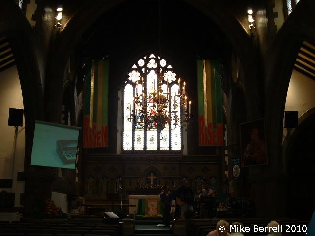
All Saints, Marple, Church of England
hide
Hide
Hide
All Saints,
Church Lane,
Marple
Hide
It was founded in 1655.
Church Lane
Church History
An ancient chapelry in the parish of Stockport: St. Mary the Virgin, serving the township of Marple. In 1876 it became the district church for part of the township of Marple (previously served by Stockport: St. Mary the Virgin). The boundaries of "The District Chapelry of All Saints, Marple" were described in the London Gazette on 9 March 1876:
"All that part of the parish of Stockport in the county of Chester and in the diocese of Chester, which is comprised within and is coextensive with the limits of the present chapelry of Marple or in other words which consists of that portion of the township and chapelry of Marple, in the said parish of Stockport, which is not included within the limits of the new parish of St. Thomas High-lane (which cure was taken partly out of the said township and chapelry of Marple) nor within the limits of the new parish of St. Martin Low Marple, which, last-named cure was taken wholly out of the said township and chapelry of Marple."
The district was affected by the following boundary changes:
- 1934 July 6 — enlarged when the following part of the township of Marple was transferred from High Lane: St. Thomas: "All that portion of the said New Parish of Saint Thomas, High Lane, which is bounded upon the north-west by the said New Parish of All Saints, Marple, upon the north by the Parish of Mellor, upon the east partly by the last named Parish and partly by the Chapelry District of Beard, both in the County of Derby and in the Diocese of Derby, upon the south-east by the New Parish of Saint Mary, Disley, situate partly in the said County of Chester and partly in the said County of Derby and wholly in the said Diocese of Chester, and upon the remaining side, that is to say, upon the south-west, by an imaginary line commencing upon the boundary which divides the said New Parish of Saint Mary, Disley, from the said New Parish of Saint Thomas, High Lane, at the centre of the bridge which carries the footpath leading to Turflee across the stream which flows past the southern side of Springwater Mill, and extending thence northward along the middle of such footpath for a distance of 26 chains or thereabouts to the point where it reaches the south western side of the road leading from Springwater Mill to Badge End, and extending thence first north eastward to and then north westward along the middle of the said road fur a distance of 5 chains or thereabouts to its junction with Wybersley Road, opposite to the middle of the roadway and footpath leading past the north eastern side of the house and premises known as Leecot towards Marple, and extending thence north westward to and along the middle of such roadway and footpath for a distance of 14 chains or thereabouts to the boundary which divides the said New Parish of Saint Thomas, High Lane, from the said New Parish of All Saints, Marple".
Church Records
C = Christenings (Baptisms) ; M = Marriages ; B = Burials ; BTs = Bishop's Transcripts
| Original Registers | C 1655-1910 ; M 1655-1754, 1838-1920 ; B 1655-1899 — Cheshire Archives (P 99) C from 1910 ; M from 1920 ; B from 1899 — Church |
| Microfilm Copies | C 1655-1972 ; M 1655-1967 ; B 1655-1965 — Cheshire Archives ; Manchester Archives & Local Studies ; Stockport Heritage Library |
| Bishop's Transcripts | 1715, 1717-46, 1748-57, 1759-84, 1786-1843 (microfilmed) — Cheshire Archives ; Family History Society of Cheshire |
| Copies and Indexes | C 1655-1885 ; M 1655-1893 ; B 1655-1839 (transcript) — in Cheshire Archives M 1656-1754 — published in: Cheshire Parish Registers: Marriages, Vol. 1 (Phillimore, 1909) M 1656-1750 — Boyd's Marriage Index - may be viewable at subscription sites such as ancestry and findmypast M 1656-1754 — North & East Cheshire Marriage Index - may be viewable at subscription sites such as ancestry or findmypast M 1701-1754 (incomplete) — Bertram Merrell Marriage Index of Cheshire (1750-1836) M 1838-1994 — Cheshire BMD (ST:ST73) B 1655-1947 — National Burial Index/North Cheshire Family History Society |
| Notes | M 1754-1838 — see Stockport: St. Mary the Virgin |
- OpenStreetMap
- Google Maps
- StreetMap (Current Ordnance Survey maps)
- Bing (was Multimap)
- Old Maps Online
- National Library of Scotland (Old Ordnance Survey maps)
- Vision of Britain (Click "Historical units & statistics" for administrative areas.)
- English Jurisdictions in 1851 (Unfortunately the LDS have removed the facility to enable us to specify a starting location, you will need to search yourself on their map.)
- Magic (Geographic information) (Click + on map if it doesn't show)
- GeoHack (Links to on-line maps and location specific services.)