
Hide
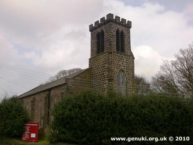
St Thomas, Odd Rode, Church of England
hide
Hide
Hide
St Thomas,
Church Lane/Congleton Road, Mow Cop,
Odd Rode
Hide
It was founded in 1809.
Church History
A former private chapel of the Wilbraham family (attached to Astbury: St. Mary).
Church Records
C = Christenings (Baptisms) ; M = Marriages ; B = Burials ; BTs = Bishop's Transcripts
| Original Registers | C 1809-1816 — Cheshire Archives (P 26) |
| Microfilm Copies | C 1809-1816 — Cheshire Archives ; Alsager Library |
It is located at SJ8603757294 (Lat/Lon 53.112647, -2.210048). You can see this on maps provided by:
- OpenStreetMap
- Google Maps
- StreetMap (Current Ordnance Survey maps)
- Bing (was Multimap)
- Old Maps Online
- National Library of Scotland (Old Ordnance Survey maps)
- Vision of Britain (Click "Historical units & statistics" for administrative areas.)
- English Jurisdictions in 1851 (Unfortunately the LDS have removed the facility to enable us to specify a starting location, you will need to search yourself on their map.)
- Magic (Geographic information) (Click + on map if it doesn't show)
- GeoHack (Links to on-line maps and location specific services.)