
Hide
St Anne, Rock Ferry, Roman Catholic
hide
Hide
Hide
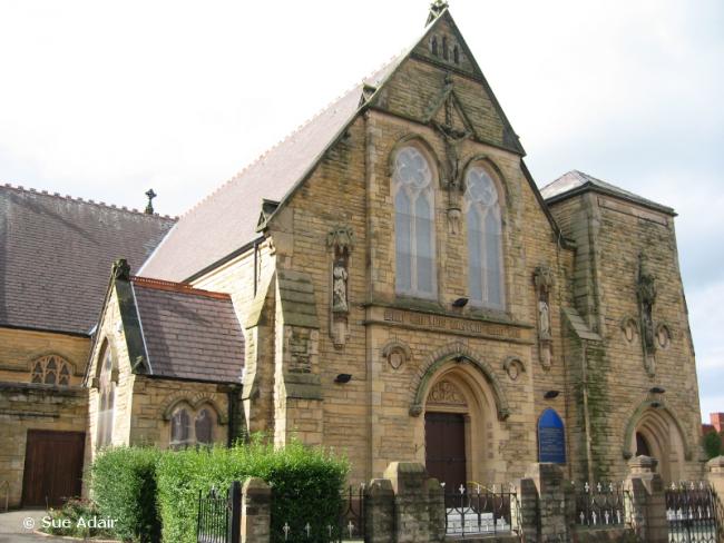
St Anne,
Highfield Road,
Rock Ferry
Hide
It was founded in 1862.
Highfield Road.
Church History
Founded in 1862 in temporary premises, until St. Anne's church opened in 1877.
Church Records
C = Christenings (Baptisms) ; M = Marriages ; B = Burials ; Conf = Confirmations
| Original Registers | Church ? |
It is located at SJ3282286504 (Lat/Lon 53.371109, -3.011133). You can see this on maps provided by:
- OpenStreetMap
- Google Maps
- StreetMap (Current Ordnance Survey maps)
- Bing (was Multimap)
- Old Maps Online
- National Library of Scotland (Old Ordnance Survey maps)
- Vision of Britain (Click "Historical units & statistics" for administrative areas.)
- English Jurisdictions in 1851 (Unfortunately the LDS have removed the facility to enable us to specify a starting location, you will need to search yourself on their map.)
- Magic (Geographic information) (Click + on map if it doesn't show)
- GeoHack (Links to on-line maps and location specific services.)