
Hide
St John the Evangelist, Calder Vale, Church of England
hide
Hide
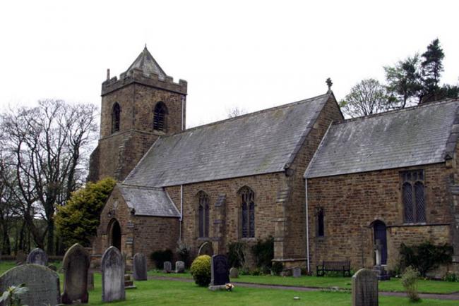
© Copyright Brian Houghton and licensed for reuse under this Creative Commons Licence
Hide
Hide
It was founded in 1863.
This site provides historical information about churches, other places of worship and cemeteries. It has no connection with the churches etc. themselves. For current information you should contact them directly.
1863-1982
Copy of Original Register of baptisms 1863-1982 held by Lancashire Archives - Searchroom
1864-1982
Copy of Original Register of marriages 1864-1982 held by Lancashire Archives - Searchroom
It is located at SD5376046370 (Lat/Lon 53.911406, -2.705397). You can see this on maps provided by:
- OpenStreetMap
- Google Maps
- StreetMap (Current Ordnance Survey maps)
- Bing (was Multimap)
- Old Maps Online
- National Library of Scotland (Old Ordnance Survey maps)
- Vision of Britain (Click "Historical units & statistics" for administrative areas.)
- English Jurisdictions in 1851 (Unfortunately the LDS have removed the facility to enable us to specify a starting location, you will need to search yourself on their map.)
- Magic (Geographic information) (Click + on map if it doesn't show)
- GeoHack (Links to on-line maps and location specific services.)