
Hide
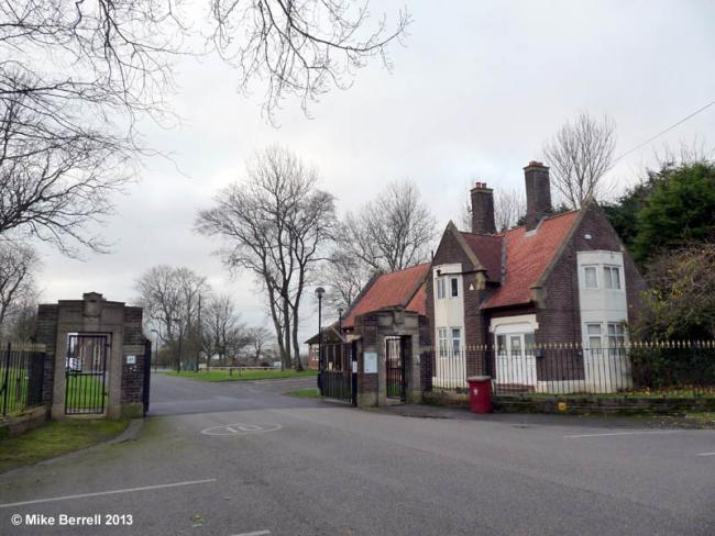
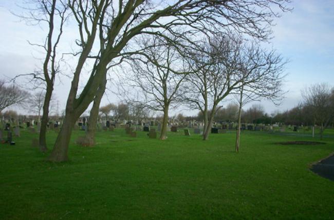
Carleton Cemetery
hide
Hide


Hide
Hide
Carleton Cemetery opened in 1935, on land off Stocks Lane, bought from Carleton Lodge. The foundation stone had been laid by the Mayor on the 5th of February 1934, and the Crematorium, Chapel and Garden of Remembrance were opened on the 18th of July, by Alderman Newman. The Cemetery was extended in February 1948.
This site provides historical information about churches, other places of worship and cemeteries. It has no connection with the churches themselves. For current information you should contact them directly.
It is located at SD3292739377 (Lat/Lon 53.846282, -3.020959). You can see this on maps provided by:
- OpenStreetMap
- Google Maps
- StreetMap (Current Ordnance Survey maps)
- Bing (was Multimap)
- Old Maps Online
- National Library of Scotland (Old Ordnance Survey maps)
- Vision of Britain (Click "Historical units & statistics" for administrative areas.)
- English Jurisdictions in 1851 (Unfortunately the LDS have removed the facility to enable us to specify a starting location, you will need to search yourself on their map.)
- Magic (Geographic information) (Click + on map if it doesn't show)
- GeoHack (Links to on-line maps and location specific services.)