
Hide
Trinity, Denton, Wesleyan Methodist
hide
Hide


Hide
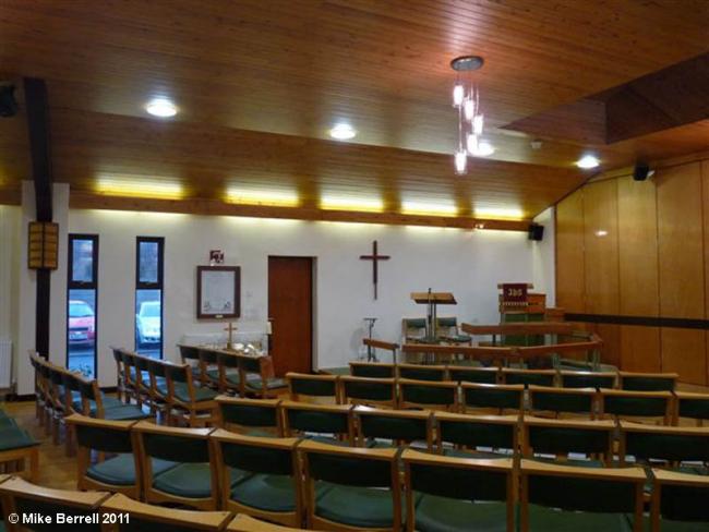
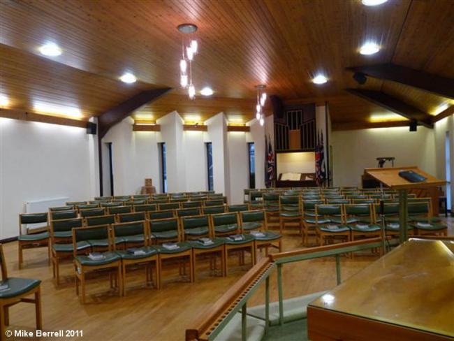
Denton Methodist Church,
Hyde Road,
Denton
Lancashire
Hide
From 1817 to 1872 they occupied a church on Ashton Road and in 1872 moved to a new building on Hyde Road. The church is no longer called 'Trinity', it is now known just as 'Denton Methodist Church'.
The Wesleyan Methodist church was formed in the 18th century from religious societies founded by John Wesley and his preachers. It suffered many secessions, but was the largest Nonconformist denomination in the 19th century. In 1932 the Wesleyan Methodists joined with the Primitive Methodists and the United Methodists to form the Methodist Church of Great Britain.
Some records are still held at the church or in the Hyde and Denton Methodist Circuit records which are mainly kept at Haughton Green Methodist Church on Two Trees lane in Denton (the circuit superintendent must be contacted in order to have access to those records), although many have now been transferred to the Manchester Central Library Archives Unit. Other general information about the Methodist Church is also available at the John Rylands library in Manchester where the archives of The Methodist Church are held.
- OpenStreetMap
- Google Maps
- StreetMap (Current Ordnance Survey maps)
- Bing (was Multimap)
- Old Maps Online
- National Library of Scotland (Old Ordnance Survey maps)
- Vision of Britain (Click "Historical units & statistics" for administrative areas.)
- English Jurisdictions in 1851 (Unfortunately the LDS have removed the facility to enable us to specify a starting location, you will need to search yourself on their map.)
- Magic (Geographic information) (Click + on map if it doesn't show)
- GeoHack (Links to on-line maps and location specific services.)