
Hide
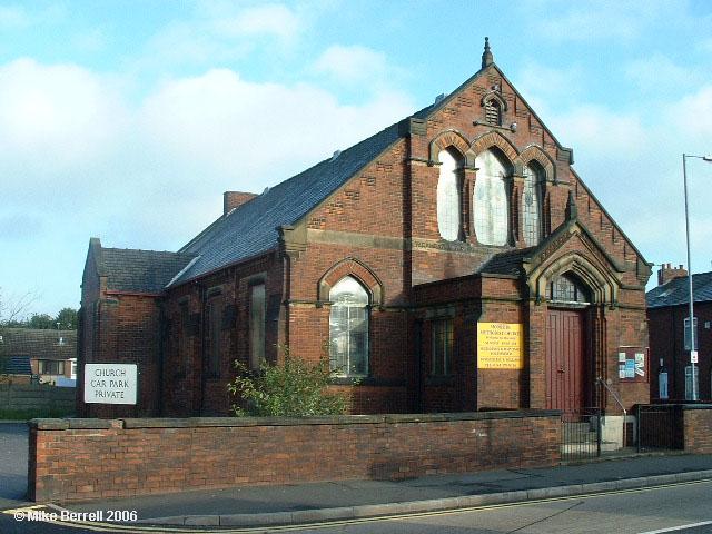
Moorside Street Wesleyan Methodist, Droylsden
hide
Hide
Photograph supplied by & Copyright of Mike Berrell.
Hide
Wesleyan Methodist church,
Moorside Street,
Droylsden
Lancashire
Moorside Street,
Droylsden
Lancashire
Hide
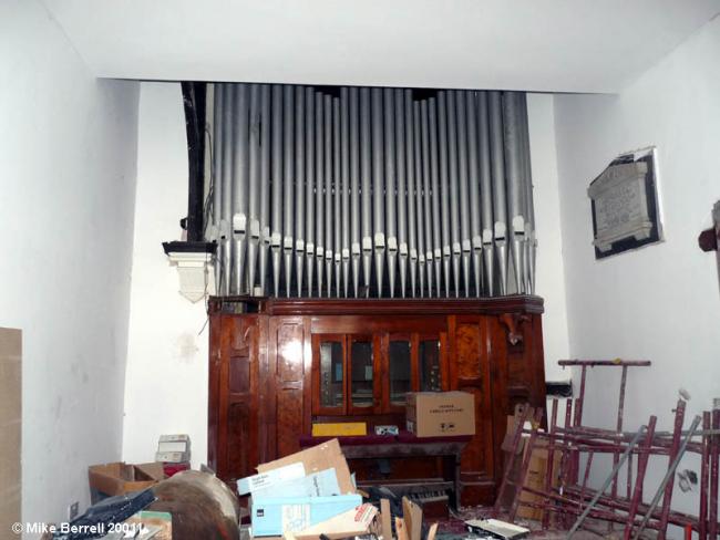
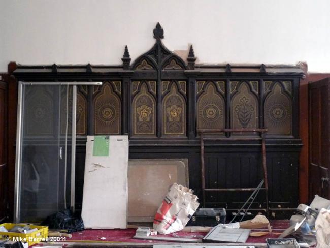
It opened on 6 February 1884 and closed in 2008 joining with Trinity and moving to Dunkirk St. As of November 2011 it is being converted to residential use.
The Wesleyan Methodist church was formed in the 18th century from religous societies founded by John Wesley and his preachers. It suffered many secessions, but was the largest Nonconformist denomination in the 19th century. In 1932 the Wesleyan Methodists joined with the Primitive Methodists and the United Methodists to form the Methodist Church of Great Britain.
This site provides historical information about churches, other places of worship and cemeteries. It has no connection with the churches etc. themselves. For current information you should contact them directly.
It was located at SJ9108098995 (Lat/Lon 53.487591, -2.135899). You can see this on maps provided by:
- OpenStreetMap
- Google Maps
- StreetMap (Current Ordnance Survey maps)
- Bing (was Multimap)
- Old Maps Online
- National Library of Scotland (Old Ordnance Survey maps)
- Vision of Britain (Click "Historical units & statistics" for administrative areas.)
- English Jurisdictions in 1851 (Unfortunately the LDS have removed the facility to enable us to specify a starting location, you will need to search yourself on their map.)
- Magic (Geographic information) (Click + on map if it doesn't show)
- GeoHack (Links to on-line maps and location specific services.)