
Hide
St John the Evangelist, Crawshawbooth, Church of England
hide
Hide
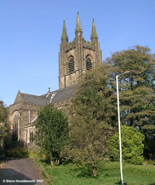
Photograph supplied by & Copyright of Steve Houldsworth.
Hide
St John the Evangelist,
Burnley Road,
Crawshawbooth
Lancashire
Hide
It was founded in 1891 and had to close in 2011 due to severe water damage after lead was stolen from the roof.
The church was declared redundant on 20 February 2012.
It was located at SD8100925174 (Lat/Lon 53.722622, -2.28928). You can see this on maps provided by:
- OpenStreetMap
- Google Maps
- StreetMap (Current Ordnance Survey maps)
- Bing (was Multimap)
- Old Maps Online
- National Library of Scotland (Old Ordnance Survey maps)
- Vision of Britain (Click "Historical units & statistics" for administrative areas.)
- English Jurisdictions in 1851 (Unfortunately the LDS have removed the facility to enable us to specify a starting location, you will need to search yourself on their map.)
- Magic (Geographic information) (Click + on map if it doesn't show)
- GeoHack (Links to on-line maps and location specific services.)