
Hide
Huyton Parish Boundaries
hide
Hide
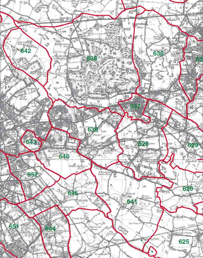
639 - Knowsley 639 - Huyton 640 - Roby 641 - Tarbock 642 - Croxteth
Huyton Township Boundaries
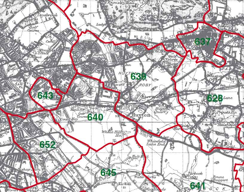
639 - Huyton 640 - Roby
This map is extracted from:
Kain, R.J.P., Oliver, R.R., Historic Parishes of England and Wales: an Electronic Map of Boundaries before 1850 with a Gazetteer and Metadata [computer file]. Colchester, Essex: History Data Service, UK Data Archive [distributor], 17 May 2001. SN: 4348.
Acknowledgement is made to R.J.P. Kain, R.R Oliver, the Economic and Social Research Council, the History Data Service and the UK Data Archive.