
Hide
Ulverston Parish Boundaries
hide
Hide
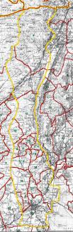
9 - Church Coniston, 10 - Above Coniston, 11 - Torver, 12 - Blawith, 13 - Higher Subberthwaite, 14 - Lower Subberthwaite, 15 - Bay Fell, 16 - Higher Lowick, 17A - Lower Lowick, 17B - Lowick Common, 17C - Upper Lowick, 18 - Osmotherley, 19 - Egton, 20 - Newland, 21 - Mansriggs, 22 - Ulverston
Ulverston Township Boundaries
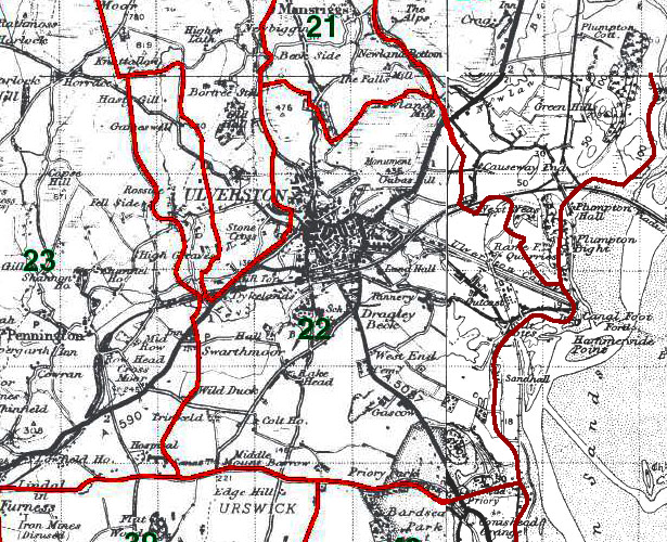
22 - Ulverston
This map is extracted from:
Kain, R.J.P., Oliver, R.R., Historic Parishes of England and Wales: an Electronic Map of Boundaries before 1850 with a Gazetteer and Metadata [computer file]. Colchester, Essex: History Data Service, UK Data Archive [distributor], 17 May 2001. SN: 4348.
Acknowledgement is made to R.J.P. Kain, R.R Oliver, the Economic and Social Research Council, the History Data Service and the UK Data Archive.