
Hide
England:- Maps
hide
Hide
Pages about maps
-
These links will help you investigate the maps availble in The National Archives:
Looking for a map
Maps: further research
or check their other research guides -
The Ordnance Survey produce a wide range of useful maps. Also see The National Archives guide to Ordnance Survey Records.
-
Reproductions of many early large-scale Ordnance Survey maps for many areas are available from Alan Godfrey Maps.
Links to maps
In a somewhat random order.
-
The National Library of Scotland has put numerous maps online inluding Ordnance Survey maps for England and Wales from c.1900 which can be overlaid on current maps.
-
Gardiner's A School Atlas of English History (edited by Samuel Rawson Gardiner, M.A. LL.D. and printed in London by Longmans, Green, and Co. in 1892).
-
Note that from late 2021, these maps are no longer free: The Landmark Information Group have provided online 19th Century Ordnance Survey maps linked from an extensive gazetteer. These are at a scale of 1:10,560 (6 inches to the mile) and cover all of Great Britain (England, Scotland and Wales). (Maps vary between 1840 and 1890.)
-
Lewis' (c.1840) maps of England & Wales have been put online by MapCo.
-
Maps of England and Wales in
(808k) and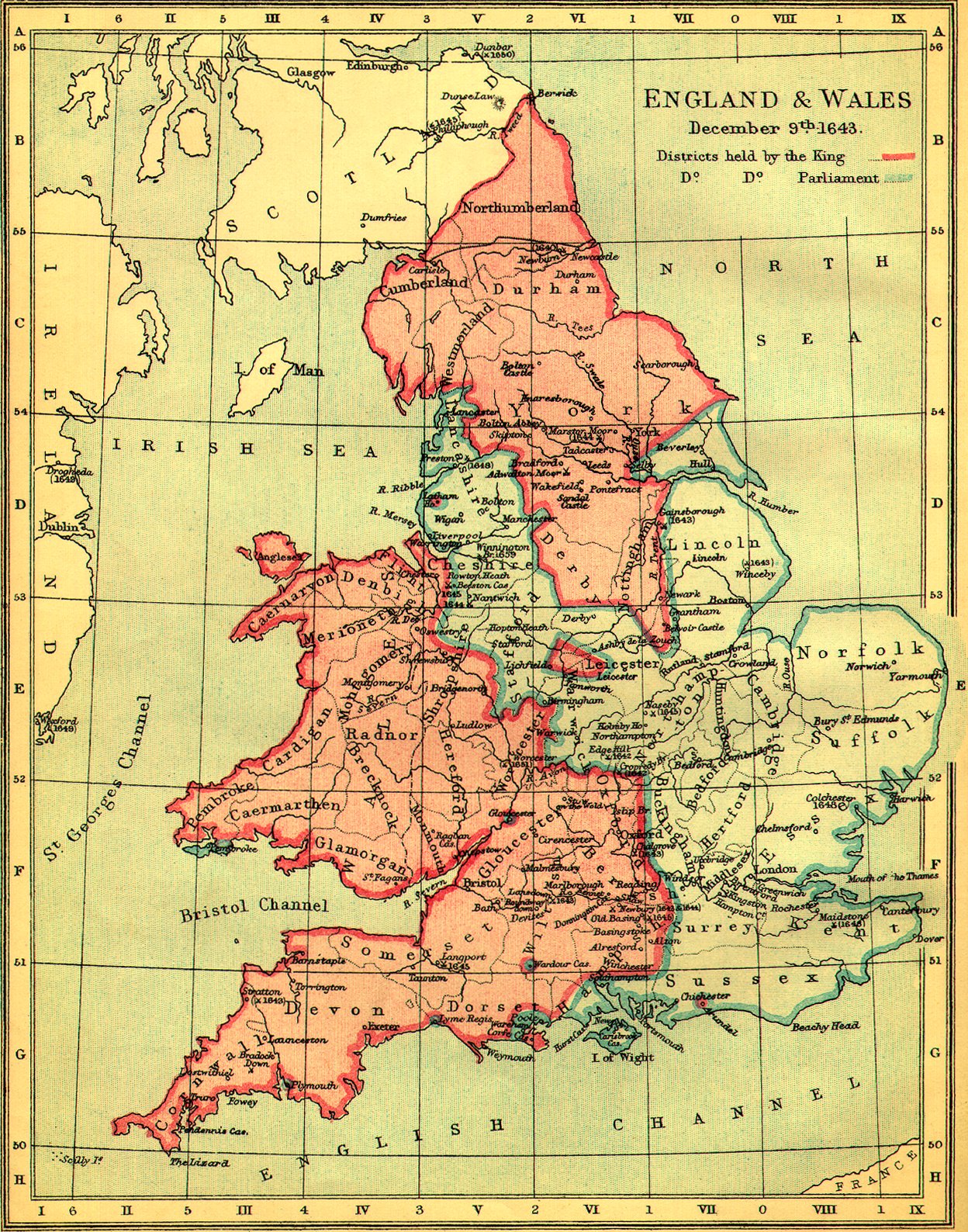 (479k) which were obtained courtesy of Ancestry, who retain copyright and reserve all rights in them.
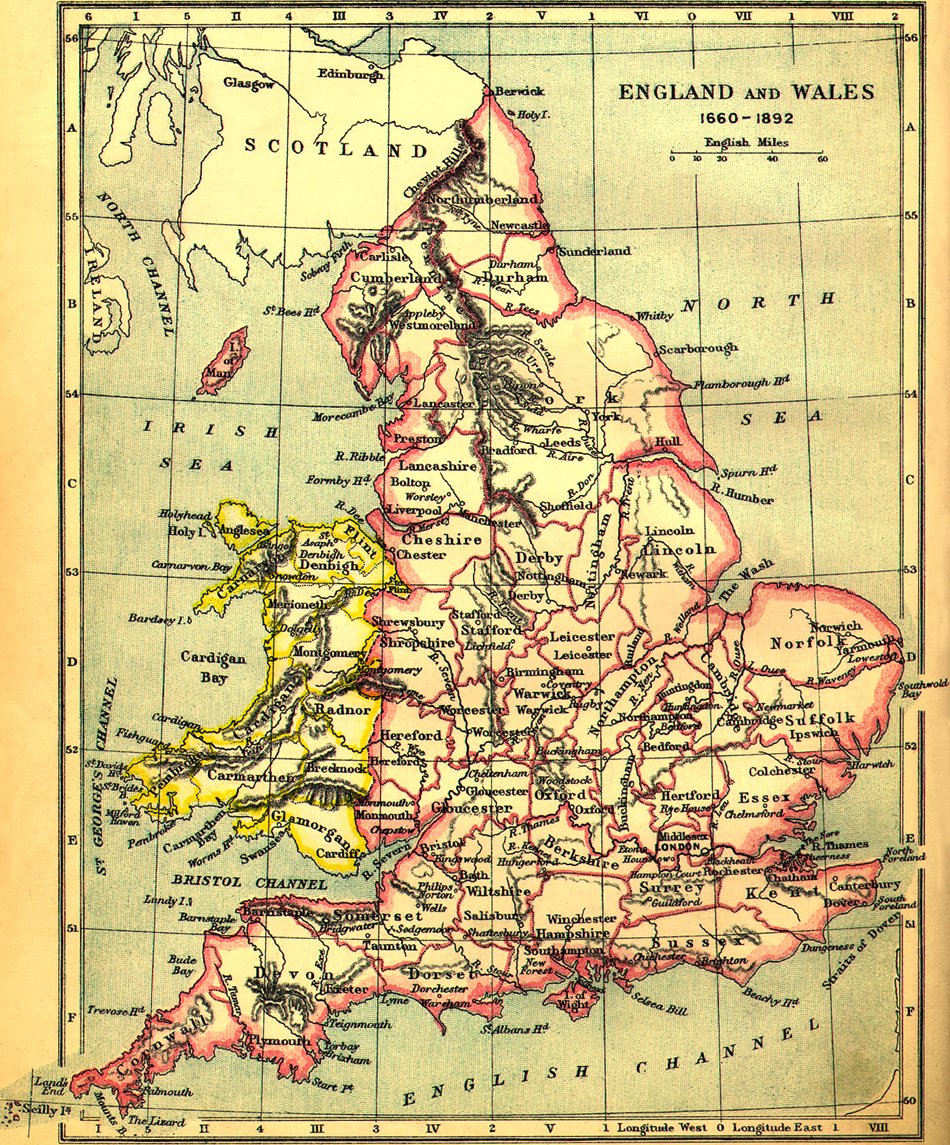
- GENUKI trustee David Hawgood has produced (this from the Internet Archive) tactile and large print maps for the 1835 English counties.