
Hide
Newchapel Chapelry Boundaries Pre-1850
hide
Hide
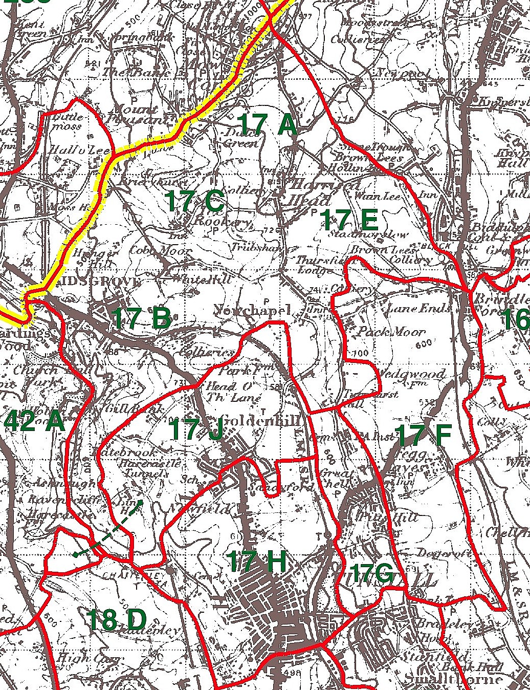
Key to Chapelry & Township Numbers - 17D:Thursfield, 17F:Wedgwood, 17G:Chell (17A:Branscliff, 17B:Briershurst, 17C:Oldcott, 17E:Stadmorslow, 17H:Tunstall, 17J:Golden Hill all in Wolstanton Parish)Note : Kain & Oliver state that they were unable to find most of the Wolstanton township boundaries and numbers are NGR approx positionsThis map is extracted from:
Kain, R.J.P., Oliver, R.R., Historic Parishes of England and Wales: an Electronic Map of Boundaries before 1850 with a Gazetteer and Metadata [computer file]. Colchester, Essex: History Data Service, UK Data Archive [distributor], 17 May 2001. SN: 4348.Acknowledgement is made to R.J.P. Kain, R.R Oliver, the Economic and Social Research Council, the History Data Service and the UK Data Archive.