
Hide
Auchterhouse
hide
Hide
"The parish is bounded on the east by Tealing, on the south-east by Mains & Strathmartine, on the south by Liff, on the west by Lundie & Fowlis, on the north-west by Newtyle and on the north by Glamis.It is triangular in shape and exposed to the south. It has an area of about 8.5 square miles, with 3567 acres cultivated, 1406 under wood and 475 in hill pasture.Easy access to the market town of Dundee may be obtained either by the Dundee - Newtyle turnpike road or by the Dundee - Newtyle railway. The railway affords conveyance for 2500 tons of goods and 3000 passengers annually."
Edited from The New Statistical Account of Scotland, Angus, 1843
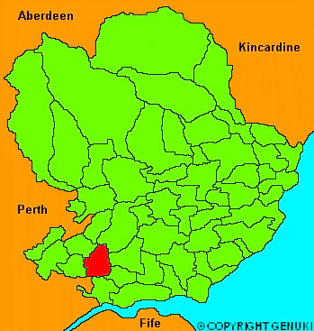
Click on the map to access more maps of Auchterhouse.
Hide
| Auchterhouse Church, Auchterhouse, Church of Scotland |
- The transcription of the section for Auchterhouse from the National Gazetteer (1868) provided by Colin Hinson.
- Ask for a calculation of the distance from Auchterhouse to another place.
You can see maps centred on OS grid reference NO337383 (Lat/Lon: 56.531885, -3.079189), Auchterhouse which are provided by:
- OpenStreetMap
- Google Maps
- StreetMap (Current Ordnance Survey maps)
- Bing (was Multimap)
- Old Maps Online
- National Library of Scotland (Old Ordnance Survey maps)
- Vision of Britain (Click "Historical units & statistics" for administrative areas.)
- Magic (Geographic information) (Click + on map if it doesn't show)
- GeoHack (Links to on-line maps and location specific services.)
- All places within the same township/parish shown on an Openstreetmap map.
- Nearby townships/parishes shown on an Openstreetmap map.
- Nearby places shown on an Openstreetmap map.