
Hide
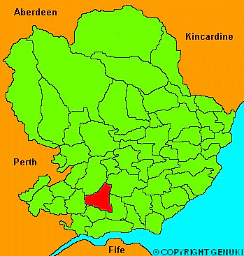
Tealing
hide
Hide
"Lying on the south side of the Sidlaw hills, about 8 miles from Dundee on the road to Glammiss. It extends about 3 miles in length, and from 1 to 2 in breadth, watered by the small river Fithie, a tributary stream of the Dighty. The surface slopes gradually from the mountains towards the South, and the soil varies from a light loam to a rich black mould, and a strong wet clay, very retentive of moisture. Agriculture has been much attended to, particularly irrigation or watering of meadow lands, which has been introduced and practised by Patrick Srymgeour Esq of Tealing, one of the proprietors, who resides in the parish. The highest of the Sidlaws in this district, is Craig-Owl, elevated 1100 feet above the sea level. About 380 acres are covered with wood and plantation. Besides several druidical circles, and subteranneous houses, this parish affords several relics of antiquity, which are with great probability ascribed to the Romans."
The Gazetteer of Scotland, W Chalmers, Dundee 1803.
Hide
| Tealing Parish Church |
| Tealing Parish Church |
- The transcription of the section for Tealing from the National Gazetteer (1868) provided by Colin Hinson.
- Ask for a calculation of the distance from Tealing to another place.
You can see maps centred on OS grid reference NO397395 (Lat/Lon: 56.543215, -2.982318), Tealing which are provided by:
- OpenStreetMap
- Google Maps
- StreetMap (Current Ordnance Survey maps)
- Bing (was Multimap)
- Old Maps Online
- National Library of Scotland (Old Ordnance Survey maps)
- Vision of Britain (Click "Historical units & statistics" for administrative areas.)
- Magic (Geographic information) (Click + on map if it doesn't show)
- GeoHack (Links to on-line maps and location specific services.)
- All places within the same township/parish shown on an Openstreetmap map.
- Nearby townships/parishes shown on an Openstreetmap map.
- Nearby places shown on an Openstreetmap map.