
Hide
Kilmuir-Wester, Church of Scotland
hide
Hide
© Copyright Alpin Stewart and licensed for reuse under this Creative Commons Licence.
Hide
Church of Scotland,
Kilmuir-Wester
Hide
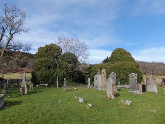
The parishes of Kilmuir Wester and Suddie were united to form Knockbain parish with the combined parish church being built in 1754. Both the churches at Kilmuir and Suddie were neglected and are now ruins.
Kilmuir Church (St Mary?) was probably built in the late 1400s, and ceased being used in 1764. It was then converted into a burial vault and enclosure in the 1800s. But it is still possible to see the graves within the church, and if you are prepared to find your way under the mass of ivy, you can also see into the burial vault at the eastern end of the church. Whilst the church is in ruins, the graveyard is still in use.
It was located at NH6765950113 (Lat/Lon 57.521771, -4.211364). You can see this on maps provided by:
- OpenStreetMap
- Google Maps
- StreetMap (Current Ordnance Survey maps)
- Bing (was Multimap)
- Old Maps Online
- National Library of Scotland (Old Ordnance Survey maps)
- Vision of Britain (Click "Historical units & statistics" for administrative areas.)
- Magic (Geographic information) (Click + on map if it doesn't show)
- GeoHack (Links to on-line maps and location specific services.)