
Hide
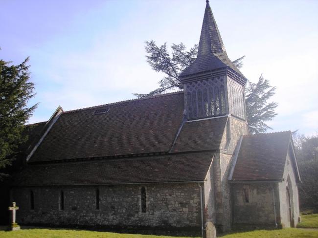
Holy Rood, Empshott
hide
Hide
Hide
Holy Rood,
Church Lane,
Empshott,
Hampshire
Hide
The church is still open (April 2015).
- The entry for this church on the Church of England website.
It is located at SU7532631250 (Lat/Lon 51.075641, -0.926161). You can see this on maps provided by:
- OpenStreetMap
- Google Maps
- StreetMap (Current Ordnance Survey maps)
- Bing (was Multimap)
- Old Maps Online
- National Library of Scotland (Old Ordnance Survey maps)
- Vision of Britain (Click "Historical units & statistics" for administrative areas.)
- English Jurisdictions in 1851 (Unfortunately the LDS have removed the facility to enable us to specify a starting location, you will need to search yourself on their map.)
- Magic (Geographic information) (Click + on map if it doesn't show)
- GeoHack (Links to on-line maps and location specific services.)