
Hide
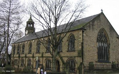
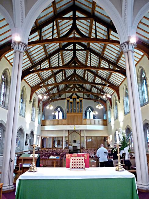
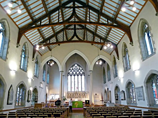
St John the Baptist, Hey, Church of England
hide
Hide
© Mike Berrell
© Mike Berrell
Hide
St John the Baptist,
Stamford Rd,
Hey
Hide
Baptisms
1758-1802
Copy of Bishop's Transcript of baptisms 1758-1802 held by Lancashire Archives - DRM 2/13-14
1823-1846
Copy of Bishop's Transcript of baptisms 1823-1846 held by Lancashire Archives - DRM 2/13-14
1868-1869
Copy of Bishop's Transcript of baptisms 1868-1869 held by Lancashire Archives - DRM 2/13-14
Marriages
1743-1753
Copy of Original Register of marriages 1743-1753 held by Lancashire Archives - MG (1959/4)
Burials
1758-1802
Copy of Bishop's Transcript of burials 1758-1802 held by Lancashire Archives - DRM 2/13-14
1778-1831
Transcript of burials 1778-1831 held by Lancashire Archives - Searchroom
1823-1846
Copy of Bishop's Transcript of burials 1823-1846 held by Lancashire Archives - DRM 2/13-14
1868-1869
Copy of Bishop's Transcript of burials 1868-1869 held by Lancashire Archives - DRM 2/13-14
It is located at SD9559905097 (Lat/Lon 53.542497, -2.067876). You can see this on maps provided by:
- OpenStreetMap
- Google Maps
- StreetMap (Current Ordnance Survey maps)
- Bing (was Multimap)
- Old Maps Online
- National Library of Scotland (Old Ordnance Survey maps)
- Vision of Britain (Click "Historical units & statistics" for administrative areas.)
- English Jurisdictions in 1851 (Unfortunately the LDS have removed the facility to enable us to specify a starting location, you will need to search yourself on their map.)
- Magic (Geographic information) (Click + on map if it doesn't show)
- GeoHack (Links to on-line maps and location specific services.)