
Hide
St Aidan, Billinge, Church of England
hide
Hide
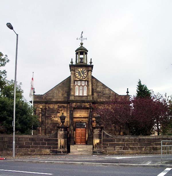
© Copyright Alexander P Kapp and licensed for reuse under this Creative Commons Licence.
Hide
Hide
Baptisms
1696-1812
Transcript of baptisms 1696-1812 by the Lancashire Parish Register Society - Volume 123
1722-1857
Copy of Bishop's Transcript of baptisms 1722-1857 held by Lancashire Archives - DRL 2/512-515
1813-1841
Transcript of baptisms 1813-1841 by the Lancashire Parish Register Society - Volume 190
1722-1799
Copy of Bishop's Transcript of marriages 1722-1799 held by Lancashire Archives - DRL 2/512-515
1813-1826
Index of marriages 1813-1826 held by Lancashire Archives - Searchroom
1813-1841
Transcript of marriages 1813-1841 by the Lancashire Parish Register Society - Volume 190
1830-1836
Index of marriages 1830-1836 held by Lancashire Archives - Searchroom
1839-1857
Copy of Bishop's Transcript of marriages 1839-1857 held by Lancashire Archives - DRL 2/512-515
1899-1810
Transcript of marriages 1899-1810 by the Lancashire Parish Register Society - Volume 123
Burials
1699-1812
Transcript of burials 1699-1812 by the Lancashire Parish Register Society - Volume 123
1722-1857
Copy of Bishop's Transcript of burials 1722-1857 held by Lancashire Archives - DRL 2/512-515
1813-1841
Transcript of burials 1813-1841 by the Lancashire Parish Register Society - Volume 190
It is located at SD5331800702 (Lat/Lon 53.50093, -2.705226). You can see this on maps provided by:
- OpenStreetMap
- Google Maps
- StreetMap (Current Ordnance Survey maps)
- Bing (was Multimap)
- Old Maps Online
- National Library of Scotland (Old Ordnance Survey maps)
- Vision of Britain (Click "Historical units & statistics" for administrative areas.)
- English Jurisdictions in 1851 (Unfortunately the LDS have removed the facility to enable us to specify a starting location, you will need to search yourself on their map.)
- Magic (Geographic information) (Click + on map if it doesn't show)
- GeoHack (Links to on-line maps and location specific services.)