
Hide
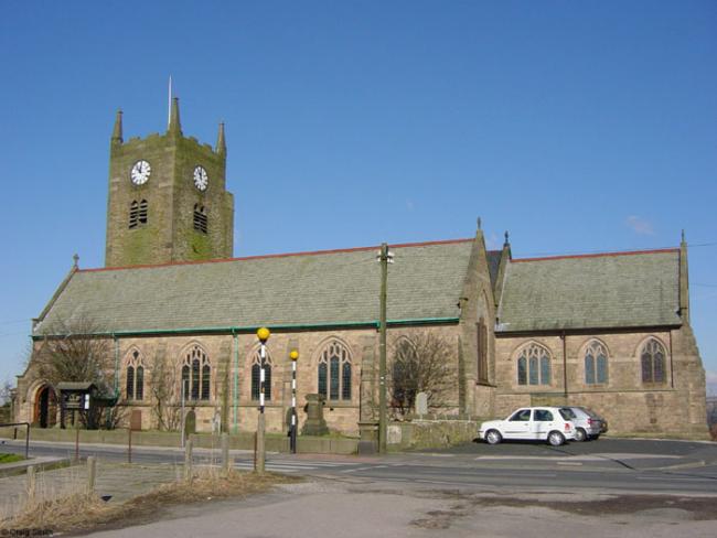
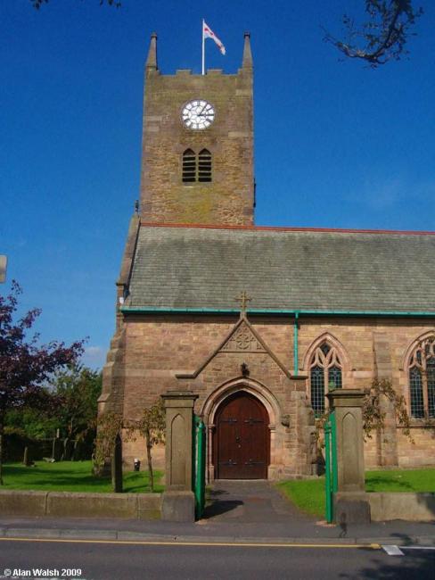
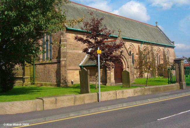
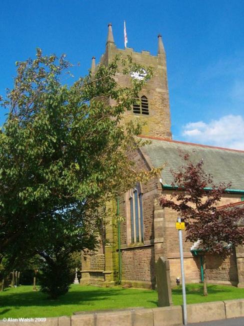
St Katharine, Blackrod, Church of England
hide
Hide
Hide
St Katharine,
Church Street,
Blackrod
Lancashire
Hide
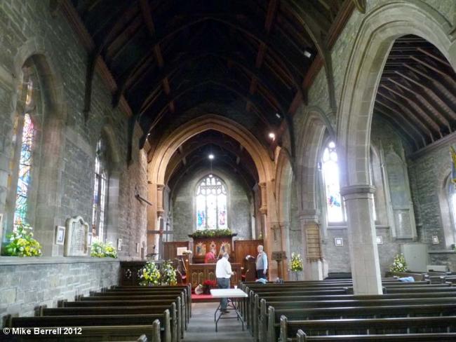
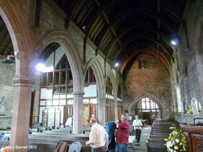
The church of St. Catherine is a building of stone in the Norman style, consisting of nave, south aisle and an embattled western tower with pinnacles, containing 6 bells and a clock: it was enlarged and repewed in 1766, galleried in 1837, re-roofed in 1894, and will seat about 700 persons, 203 sittings being free: by an Order in Council, dated May 5, 1882, the church was wholly closed against interments, and the churchyard also with some modifications. The register dates from the year 1606 and is in good condition. The living is a vicarage, gross yearly value £700, including 52 acres of glebe, with residence, in the gift of the vicar of Bolton, and held since 1877 by the Rev. Ralph Calvert Williams Croft B.A. of Trinity College, Dublin.
from Slater's Directory, Lancashire 1895
Hide
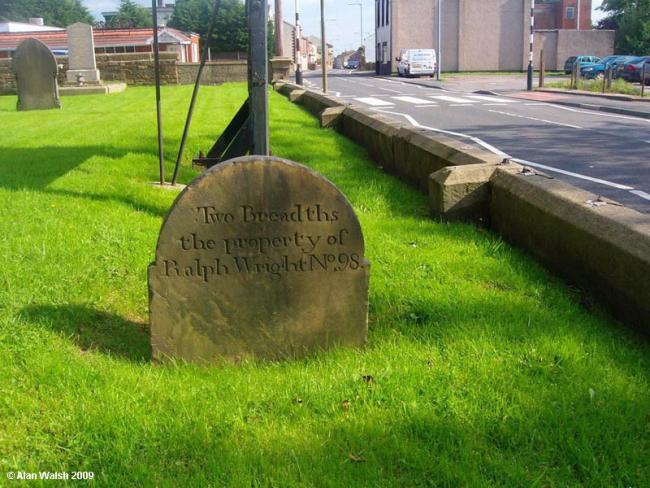
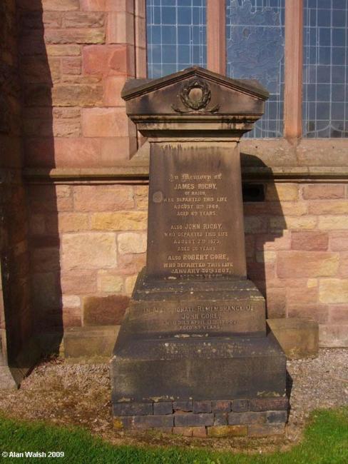
The church has a graveyard. The monumental inscriptions have been published by the Manchester & Lancs FHS.
It was founded before 1338.
This site provides historical information about churches, other places of worship and cemeteries. It has no connection with the churches themselves. For current information you should contact them directly.
Baptisms
1606-1641
1606-1701
Transcript of baptisms 1606-1701 by the Lancashire Parish Register Society - Volume 036
1606-1936
1607-1936
1670-1747
1701-1837
Transcript of baptisms 1701-1837 by the Lancashire Parish Register Society - Volume 160
1779-1863
Marriages
1606-1641
1606-1700
1606-1754
1607-1754
1613-1700
Transcript of marriages 1613-1700 by the Lancashire Parish Register Society - Volume 036
1670-1747
1701-1837
Transcript of marriages 1701-1837 by the Lancashire Parish Register Society - Volume 160
1779-1827
1838-1955
1838-1955
Burials
1606-1641
1606-1944
1607-1701
Transcript of burials 1607-1701 by the Lancashire Parish Register Society - Volume 036
1607-1944
1670-1747
1701-1837
Transcript of burials 1701-1837 by the Lancashire Parish Register Society - Volume 160
1779-1863
- OpenStreetMap
- Google Maps
- StreetMap (Current Ordnance Survey maps)
- Bing (was Multimap)
- Old Maps Online
- National Library of Scotland (Old Ordnance Survey maps)
- Vision of Britain (Click "Historical units & statistics" for administrative areas.)
- English Jurisdictions in 1851 (Unfortunately the LDS have removed the facility to enable us to specify a starting location, you will need to search yourself on their map.)
- Magic (Geographic information) (Click + on map if it doesn't show)
- GeoHack (Links to on-line maps and location specific services.)