
Hide
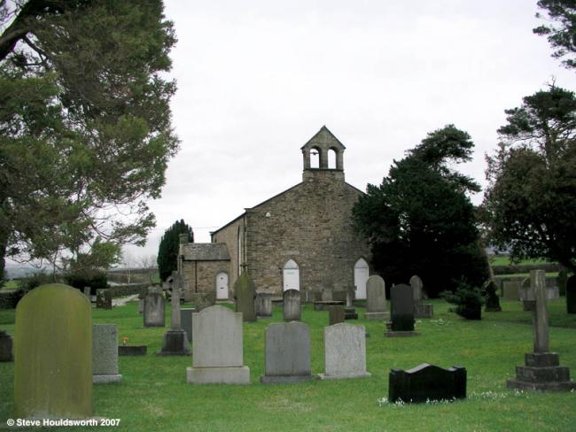
St Paul, Shireshead, Church of England
hide
Hide

Photograph supplied by & Copyright of Steve Houldsworth
Hide
St Paul,
Stony Lane,
Shireshead
Lancashire
Hide
It was founded in 1520 and closed in 1889 although certain services were still held there until about 1960.
It was located at SD5017851174 (Lat/Lon 53.954248, -2.760701). You can see this on maps provided by:
- OpenStreetMap
- Google Maps
- StreetMap (Current Ordnance Survey maps)
- Bing (was Multimap)
- Old Maps Online
- National Library of Scotland (Old Ordnance Survey maps)
- Vision of Britain (Click "Historical units & statistics" for administrative areas.)
- English Jurisdictions in 1851 (Unfortunately the LDS have removed the facility to enable us to specify a starting location, you will need to search yourself on their map.)
- Magic (Geographic information) (Click + on map if it doesn't show)
- GeoHack (Links to on-line maps and location specific services.)