
Hide
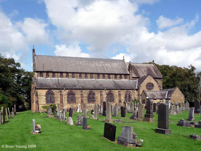
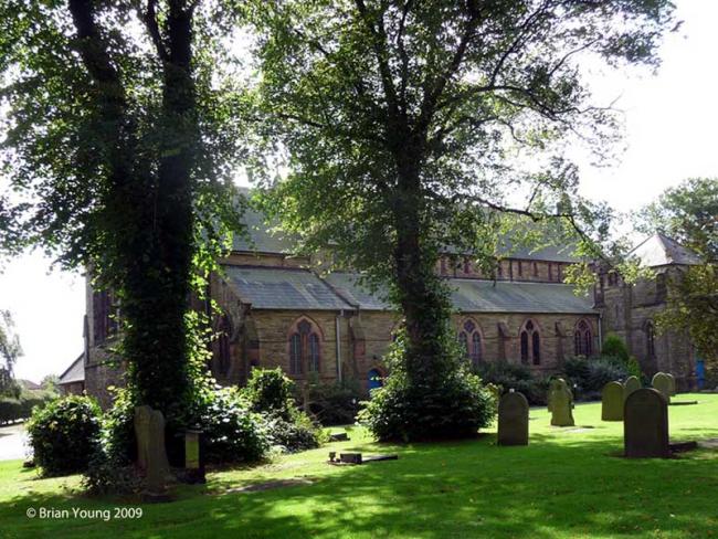
St Andrew, Longton, Church of England
hide
Hide
Photograph supplied by & Copyright of Brian Young.
Hide
St Andrew,
Liverpool Road,
Longton
Lancashire
Hide
1817-1976
Transcript of monumental inscriptions 1817-1976 held by Lancashire Archives - Searchroom
1817-1990
Transcript of monumental inscriptions 1817-1990 held by Lancashire Archives - Searchroom
1878-1998
Transcript of monumental inscriptions 1878-1998 held by Lancashire Archives - Searchroom
It was founded in 1753.
This site provides historical information about churches, other places of worship and cemeteries. It has no connection with the churches etc. themselves. For current information you should contact them directly.
Baptisms
1754-1981
Original Registers of baptisms 1754-1981 held by Lancashire Archives - PR 3007 3161
1758-1852
Copy of Bishop's Transcript of baptisms 1758-1852 held by Lancashire Archives - DRB 2/157a-162
Marriages
1838-1997
Original Registers of marriages 1838-1997 held by Lancashire Archives - PR 3007 3161
Burials
1758-1852
Copy of Bishop's Transcript of burials 1758-1852 held by Lancashire Archives - DRB 2/157a-162
1817-1900
Transcript of burials 1817-1900 held by Lancashire Archives - Searchroom
1817-1948
Original Registers of burials 1817-1948 held by Lancashire Archives - PR 3007 3161
1895-1990
Transcript of burials 1895-1990 held by Lancashire Archives - Searchroom
It is located at SD4848125881 (Lat/Lon 53.726771, -2.782313). You can see this on maps provided by:
- OpenStreetMap
- Google Maps
- StreetMap (Current Ordnance Survey maps)
- Bing (was Multimap)
- Old Maps Online
- National Library of Scotland (Old Ordnance Survey maps)
- Vision of Britain (Click "Historical units & statistics" for administrative areas.)
- English Jurisdictions in 1851 (Unfortunately the LDS have removed the facility to enable us to specify a starting location, you will need to search yourself on their map.)
- Magic (Geographic information) (Click + on map if it doesn't show)
- GeoHack (Links to on-line maps and location specific services.)