
Hide
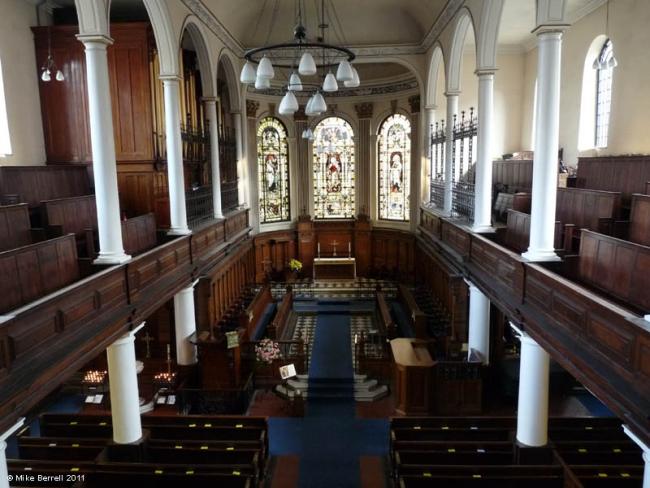
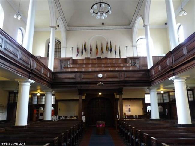
St Ann Church of England, Manchester
hide
Hide


Hide
Hide
Transcript of monumental inscriptions held by Lancashire Archives - DRM 5/2
It was founded in 1711.
This site provides historical information about churches, other places of worship and cemeteries. It has no connection with the churches themselves. For current information you should contact them directly.
Baptisms
1711-1739
Copy of Bishop's Transcript of baptisms 1711-1739 held by Lancashire Archives - DRM 2/124a-125a 186
1763
Copy of Bishop's Transcript of baptisms 1763 held by Lancashire Archives - DRM 2/124a-125a 186
1810-1845
Copy of Bishop's Transcript of baptisms 1810-1845 held by Lancashire Archives - DRM 2/124a-125a 186
Burials
1711-1739
Copy of Bishop's Transcript of burials 1711-1739 held by Lancashire Archives - DRM 2/124a-125a 186
1763
Copy of Bishop's Transcript of burials 1763 held by Lancashire Archives - DRM 2/124a-125a 186
1810-1845
Copy of Bishop's Transcript of burials 1810-1845 held by Lancashire Archives - DRM 2/124a-125a 186
It is located at SJ8379098340 (Lat/Lon 53.481528, -2.24573). You can see this on maps provided by:
- OpenStreetMap
- Google Maps
- StreetMap (Current Ordnance Survey maps)
- Bing (was Multimap)
- Old Maps Online
- National Library of Scotland (Old Ordnance Survey maps)
- Vision of Britain (Click "Historical units & statistics" for administrative areas.)
- English Jurisdictions in 1851 (Unfortunately the LDS have removed the facility to enable us to specify a starting location, you will need to search yourself on their map.)
- Magic (Geographic information) (Click + on map if it doesn't show)
- GeoHack (Links to on-line maps and location specific services.)