
Hide
All Saints, Weaste, Church of England
hide
Hide
Hide
All Saints,
Eccles New Road,
Weaste
Eccles New Road,
Weaste
Hide
Transcript of monumental inscriptions held by Lancashire Archives - Searchroom
It was founded in 1903. It closed in 1960.
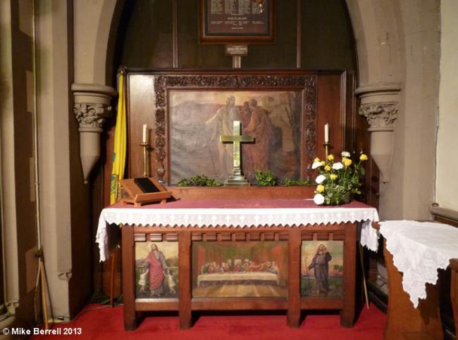
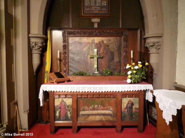
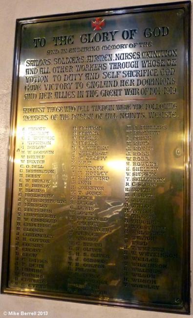
The altar and war memorial were moved to St. Luke's when it closed.
It was located at SJ7939198491 (Lat/Lon 53.482731, -2.312023). You can see this on maps provided by:
- OpenStreetMap
- Google Maps
- StreetMap (Current Ordnance Survey maps)
- Bing (was Multimap)
- Old Maps Online
- National Library of Scotland (Old Ordnance Survey maps)
- Vision of Britain (Click "Historical units & statistics" for administrative areas.)
- English Jurisdictions in 1851 (Unfortunately the LDS have removed the facility to enable us to specify a starting location, you will need to search yourself on their map.)
- Magic (Geographic information) (Click + on map if it doesn't show)
- GeoHack (Links to on-line maps and location specific services.)