Hide
St Mary and St Philip Neri, Radcliffe, Roman Catholic
hide
Hide
Hide
St Mary and St Philip Neri,
Belgrave St.,
Radcliffe
Lancashire
Hide
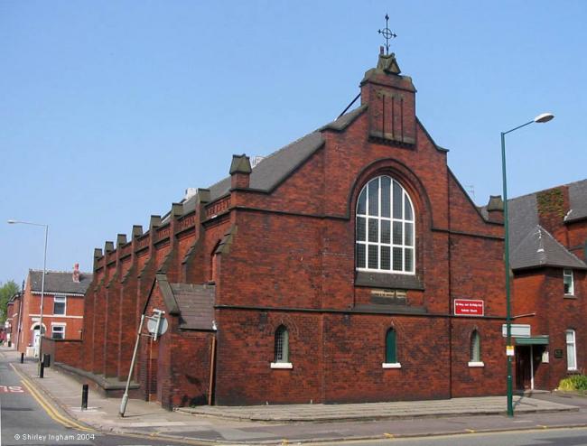
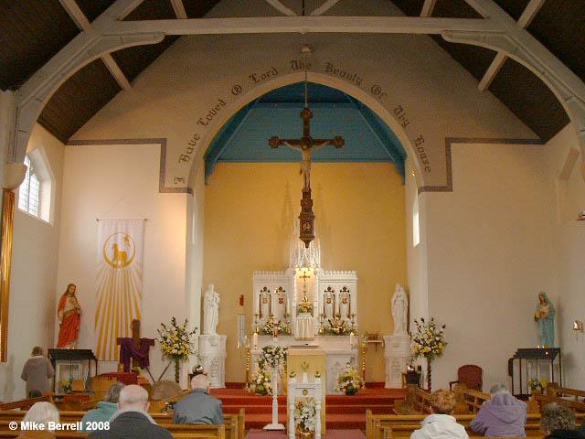
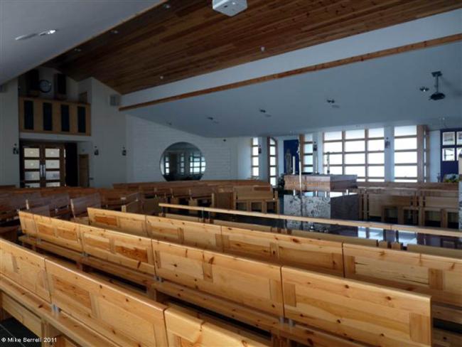
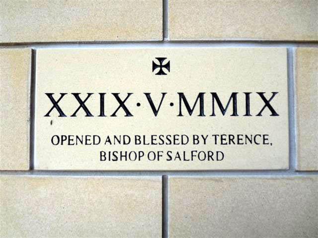
It was founded in 1877 on Spring Lane and that church closed on 26th May 2009 and has now been demolished. A new church is on Belgrave St adjoining the schools opened on 29 May 2009.
A chapel was opened here from Ramsbottom in 1863. The first chapel was in a garret and then in a disused Methodist chapel. Fr. Makchy O'Callaghan, who later went to Oldham, was here as the first resident priest. Fr. Richard Gerrard was here from 1867 to 1871 before going to Samlesbury. Canon John Musseley opened a fresh chapel here in 1878, Fr. Fowler, later at Rishton, built the present church in 1894.Among the priests of some note that served the parish in the present century, mention must be made of Fr. Arthur McGrath, author of a popular novel called Via Dolorosa. A gifted painter and linguist, Canon Edward Bray, died here in 1926. He was followed in his office by Dr. Frederick Coupe, a well-known figure in the diocese and an expert in Canon Law.
Taken from "Salford Diocese and its Catholic past", a survey by Charles A. Bolton, a Priest of the above Diocese. Published 1950 on the First Centenary for the Diocese of Salford.
The Spring Lane church was located
This site provides historical information about churches, other places of worship and cemeteries. It has no connection with the churches themselves. For current information you should contact them directly.
Copies of Original Registers
Baptisms
- 1947-1962 held by Lancashire Record Office RCSF 2
- 1947-1962 held by Lancashire Record Office RCSF 2
Marriages
- 1947-1953 held by Lancashire Record Office RCSF 2
- 1947-1953 held by Lancashire Record Office RCSF 2
- 1961-1962 held by Lancashire Record Office RCSF 2
- 1961-1962 held by Lancashire Record Office RCSF 2
Baptisms
1947-1962
Marriages
1947-1953
1961-1962
- OpenStreetMap
- Google Maps
- StreetMap (Current Ordnance Survey maps)
- Bing (was Multimap)
- Old Maps Online
- National Library of Scotland (Old Ordnance Survey maps)
- Vision of Britain (Click "Historical units & statistics" for administrative areas.)
- English Jurisdictions in 1851 (Unfortunately the LDS have removed the facility to enable us to specify a starting location, you will need to search yourself on their map.)
- Magic (Geographic information) (Click + on map if it doesn't show)
- GeoHack (Links to on-line maps and location specific services.)


