
Hide
Hareby
hide
Hide
hide
Hide
hide
Hide
Hide
Hide
- The parish was in the Spilsby sub-district of the Spilsby Registration District.
- We have an extract of a small portion of the 1901 surname index which you are welcome to review or add to.
- Check our Census Resource page for county-wide resources.
- The table below gives census piece numbers, where known:
| Census Year | Piece No. |
|---|---|
| 1841 | H.O. 107 / 636 |
| 1851 | H.O. 107 / 2109 |
| 1861 | R.G. 9 / 2374 & 2375 |
| 1871 | R.G. 10 / 3392A & 3393A |
| 1891 | R.G. 12 / 2603 |
| 1901 | R.G. 13 / 3075 |
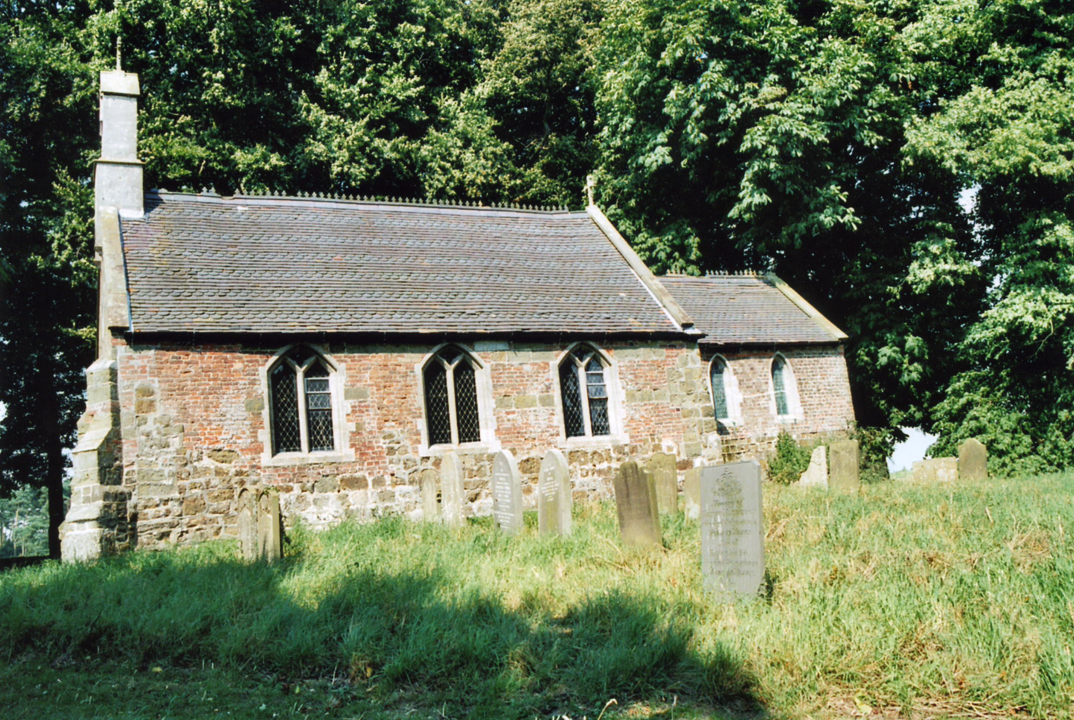
- The Anglican parish church is dedicated to Saints Peter and Paul.
- The church nave was rebuilt in 1858.
- The church seats 60 persons.
- There is a photograph of Saints Peter and Paul Church on the Wendy PARKINSON web site under "Yet More Lincolnshire".
- Here is a photo of Saints Peter and Paul's Church, taken by Ron COLE (who retains the copyright):
- The Anglican parish register dates from 1567.
- The Lincolnshire FHS has published several marriage indexes and a burial index for the Bolingbroke Deanery to make your search easier.
- Check our Church Records page for county-wide resources.
- The parish was in the Spilsby sub-district of the Spilsby Registration District.
- Check our Civil Registration page for sources and background on Civil Registration which began in July, 1837.
This village and parish lie 4.5 miles west of Spilsby and about 8 miles south-east of Horncastle. The parish covers just under 750 acres.
If you are planning a visit:
- See our touring page for more sources.
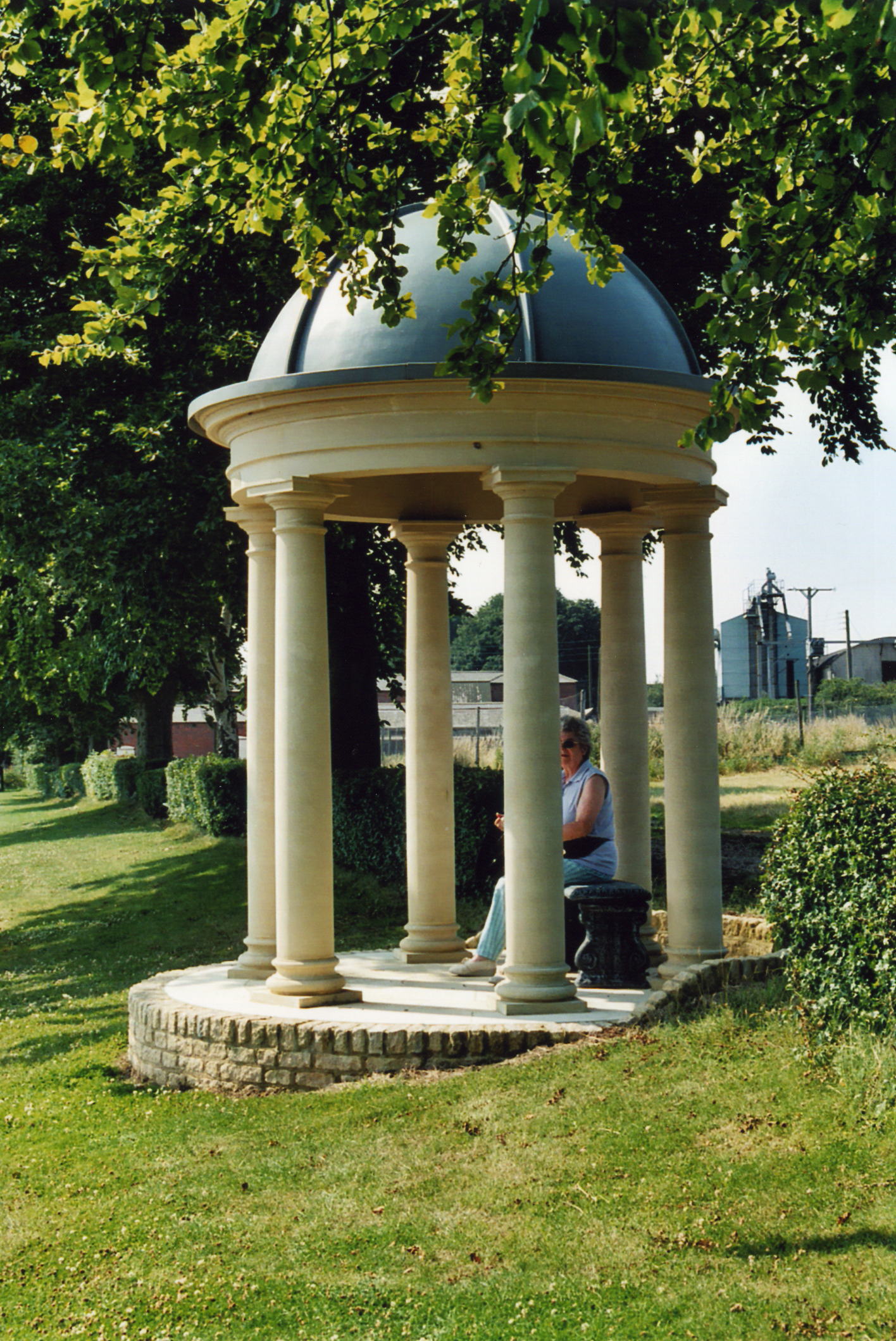
- Here is a photo of the village Millenium Dome, taken by Ron COLE (who retains the copyright):
- Ask for a calculation of the distance from Hareby to another place.
- See our "Maps" page for additional resources.
You can see maps centred on OS grid reference TF336657 (Lat/Lon: 53.171833, -0.002146), Hareby which are provided by:
- OpenStreetMap
- Google Maps
- StreetMap (Current Ordnance Survey maps)
- Bing (was Multimap)
- Old Maps Online
- National Library of Scotland (Old Ordnance Survey maps)
- Vision of Britain (Click "Historical units & statistics" for administrative areas.)
- English Jurisdictions in 1851 (Unfortunately the LDS have removed the facility to enable us to specify a starting location, you will need to search yourself on their map.)
- Magic (Geographic information) (Click + on map if it doesn't show)
- GeoHack (Links to on-line maps and location specific services.)
- All places within the same township/parish shown on an Openstreetmap map.
- Nearby townships/parishes shown on an Openstreetmap map.
- Nearby places shown on an Openstreetmap map.
- This place was an ancient parish in Lincolnshire and became a modern Civil Parish when those were established.
- The parish was in the West division of the ancient Bolingbroke Wapentake in the East Lindsey district of the county, parts of Lindsey.
- The parish was also in the Bolingbroke Soke.
- Kelly's 1912 Directory of Lincolnshire places this parish in the South Lindsey division of the county.
- For today's district governance, see the East Lindsey District Council.
- Bastardy cases would be heard in the Spilsby petty session hearings.
- As a result of the 1834 Poor Law Amendment Act, the parish became part of the Spilsby Poor Law Union.
- No school is known to be built in this parish.
- For more on researching school records, see our Schools Research page.