
Hide
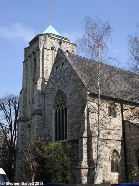
St Stephen and St Thomas, Shepherds Bush, Church of England
hide
Hide
Hide
St Stephen and St Thomas,
Uxbridge Road (Coverdale Road),
Shepherds Bush
Hide
It was founded in 1850.
Built as St Stephen in 1850. Became St Stephen and St Thomas after the latter closed in 1963.
It is located at TQ2300580028 (Lat/Lon 51.505807, -0.22907). You can see this on maps provided by:
- OpenStreetMap
- Google Maps
- StreetMap (Current Ordnance Survey maps)
- Bing (was Multimap)
- Old Maps Online
- National Library of Scotland (Old Ordnance Survey maps)
- Vision of Britain (Click "Historical units & statistics" for administrative areas.)
- English Jurisdictions in 1851 (Unfortunately the LDS have removed the facility to enable us to specify a starting location, you will need to search yourself on their map.)
- Magic (Geographic information) (Click + on map if it doesn't show)
- GeoHack (Links to on-line maps and location specific services.)