
Hide
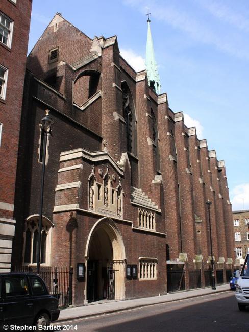
The Annunciation (formerly Quebec Chapel), St Marylebone, Church of England
hide
Hide
Hide
The Annunciation (formerly Quebec Chapel),
Bryanston Street, Marble Arch (Portman Square),
St Marylebone
Bryanston Street, Marble Arch (Portman Square),
St Marylebone
Hide
It is located at TQ2787681108 (Lat/Lon 51.514433, -0.158531). You can see this on maps provided by:
- OpenStreetMap
- Google Maps
- StreetMap (Current Ordnance Survey maps)
- Bing (was Multimap)
- Old Maps Online
- National Library of Scotland (Old Ordnance Survey maps)
- Vision of Britain (Click "Historical units & statistics" for administrative areas.)
- English Jurisdictions in 1851 (Unfortunately the LDS have removed the facility to enable us to specify a starting location, you will need to search yourself on their map.)
- Magic (Geographic information) (Click + on map if it doesn't show)
- GeoHack (Links to on-line maps and location specific services.)