
Hide
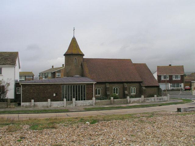
Church of the Good Shepherd, Shoreham Beach, Church of England
hide
Hide
© Copyright Andy Potter and licensed for reuse under this Creative Commons Licence.
Hide
Church of the Good Shepherd,
Kings Walk,
Shoreham Beach
Kings Walk,
Shoreham Beach
Hide
Whilst every effort has been made to record exact details of record office and library holdings
you are recommended to check with them before visiting to ensure that they do hold the records and years you
wish to examine. Similarly check with transcript publishers to ensure they cover the records and years
you require before making a purchase.
Original Registers
Baptisms
- 1913-1973 West Sussex Record Office
- 1913-1973 West Sussex Record Office
Marriages
- 1924-1978 West Sussex Record Office
- 1924-1978 West Sussex Record Office
It is located at TQ2077904365 (Lat/Lon 50.826231, -0.28652). You can see this on maps provided by:
- OpenStreetMap
- Google Maps
- StreetMap (Current Ordnance Survey maps)
- Bing (was Multimap)
- Old Maps Online
- National Library of Scotland (Old Ordnance Survey maps)
- Vision of Britain (Click "Historical units & statistics" for administrative areas.)
- English Jurisdictions in 1851 (Unfortunately the LDS have removed the facility to enable us to specify a starting location, you will need to search yourself on their map.)
- Magic (Geographic information) (Click + on map if it doesn't show)
- GeoHack (Links to on-line maps and location specific services.)