
Hide
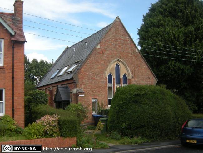
Aston Cantlow Road, Wilmcote, Methodist
hide
Hide
Hide
Methodist church,
Aston Cantlow Road,
Wilmcote
Aston Cantlow Road,
Wilmcote
Hide
It was founded before 1890. It is now closed, but we do not know the date of closure .
It was located at SP1634258150 (Lat/Lon 52.22132, -1.762191). You can see this on maps provided by:
- OpenStreetMap
- Google Maps
- StreetMap (Current Ordnance Survey maps)
- Bing (was Multimap)
- Old Maps Online
- National Library of Scotland (Old Ordnance Survey maps)
- Vision of Britain (Click "Historical units & statistics" for administrative areas.)
- English Jurisdictions in 1851 (Unfortunately the LDS have removed the facility to enable us to specify a starting location, you will need to search yourself on their map.)
- Magic (Geographic information) (Click + on map if it doesn't show)
- GeoHack (Links to on-line maps and location specific services.)