
Hide
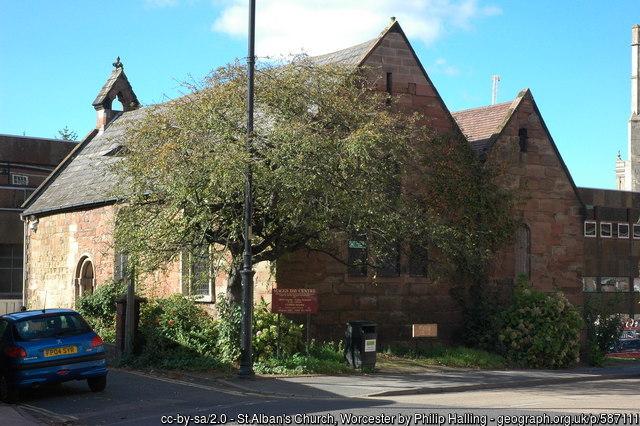
St Alban, Worcester, Church of England
hide
Hide
Hide
St. Alban
Deansway
Worcester
WR1 2JD
Hide
It was founded in 12th C. It closed in 1976. In 1984 it became The Maggs day centre for the homeless.
It was located at SO8479354876 (Lat/Lon 52.191911, -2.22387). You can see this on maps provided by:
- OpenStreetMap
- Google Maps
- StreetMap (Current Ordnance Survey maps)
- Bing (was Multimap)
- Old Maps Online
- National Library of Scotland (Old Ordnance Survey maps)
- Vision of Britain (Click "Historical units & statistics" for administrative areas.)
- English Jurisdictions in 1851 (Unfortunately the LDS have removed the facility to enable us to specify a starting location, you will need to search yourself on their map.)
- Magic (Geographic information) (Click + on map if it doesn't show)
- GeoHack (Links to on-line maps and location specific services.)