
Hide
Map of York St Crux Parish, The Ainsty and City of York, England
hide
Hide
Hide
York St Crux Parish Boundaries
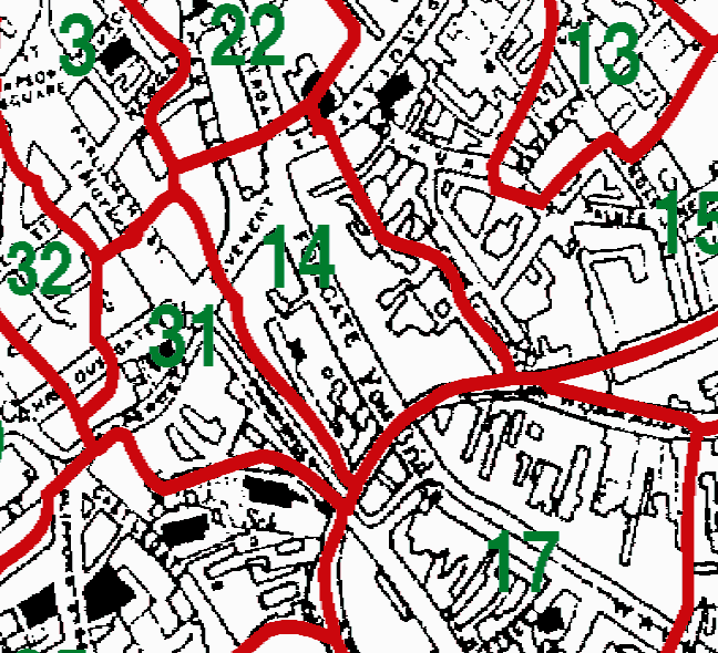
| The Divisions of the parish are as follows: |
| 14=St Crux |
This map was extracted by Phil Duke from:
Kain, R.J.P., Oliver, R.R., Historic Parishes of England and Wales: an Electronic Map of Boundaries before 1850 with a Gazetteer and Metadata [computer file]. Colchester, Essex: History Data Service, UK Data Archive [distributor], 17 May 2001. SN: 4348.
Acknowledgement is made to R.J.P. Kain, R.R Oliver, the Economic and Social Research Council, the History Data Service and the UK Data Archive.
Other maps for this location are available via the GENUKI Gazetteer.