
Hide
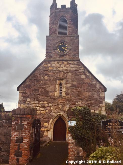
Priory Church, Bangor Road, Holywood, Church of Ireland
hide
Hide
Hide
Church of Ireland,
Priory Church, Bangor Road,
Holywood
Priory Church, Bangor Road,
Holywood
Hide
It was located at NW5290234306 (Lat/Lon 54.643161, -5.831248). You can see this on maps provided by:
- OpenStreetMap
- Google Maps
- Bing (was Multimap)
- Vision of Britain (Click "Historical units & statistics" for administrative areas.)
- Copy
Priory Church, Bangor Road, Holywood, Church of Irelandand paste it along with the county name into the search box at Ordnance Survey Ireland. - GeoHack (Links to on-line maps and location specific services.)