
Hide
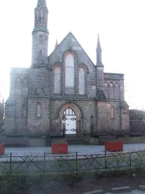
High Street, Dunbar, United Free
hide
Hide
Hide
United Free church,
High Street,
Dunbar
High Street,
Dunbar
Hide
It was located at NT6801078719 (Lat/Lon 56.000345, -2.514496). You can see this on maps provided by:
- OpenStreetMap
- Google Maps
- StreetMap (Current Ordnance Survey maps)
- Bing (was Multimap)
- Old Maps Online
- National Library of Scotland (Old Ordnance Survey maps)
- Vision of Britain (Click "Historical units & statistics" for administrative areas.)
- Magic (Geographic information) (Click + on map if it doesn't show)
- GeoHack (Links to on-line maps and location specific services.)