
Hide
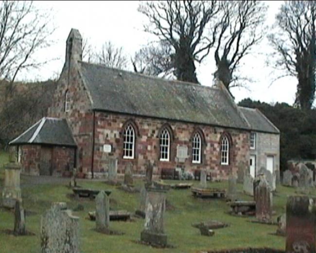
Garvald and Bara, Church of Scotland
hide
Hide
Hide
Church of Scotland,
Garvald and Bara
Hide
OPRs (Old Parish Registers) are available from 1694, covering Births and Marriages, however, at some points the records are "very defective".
Further details on the records available can be found in the NRS.
It is located at NT5906570911 (Lat/Lon 55.929514, -2.656721). You can see this on maps provided by:
- OpenStreetMap
- Google Maps
- StreetMap (Current Ordnance Survey maps)
- Bing (was Multimap)
- Old Maps Online
- National Library of Scotland (Old Ordnance Survey maps)
- Vision of Britain (Click "Historical units & statistics" for administrative areas.)
- Magic (Geographic information) (Click + on map if it doesn't show)
- GeoHack (Links to on-line maps and location specific services.)