
Hide
Parish Maps from 'Historic Parishes of England and Wales - Boundaries before 1850'
hide
Hide
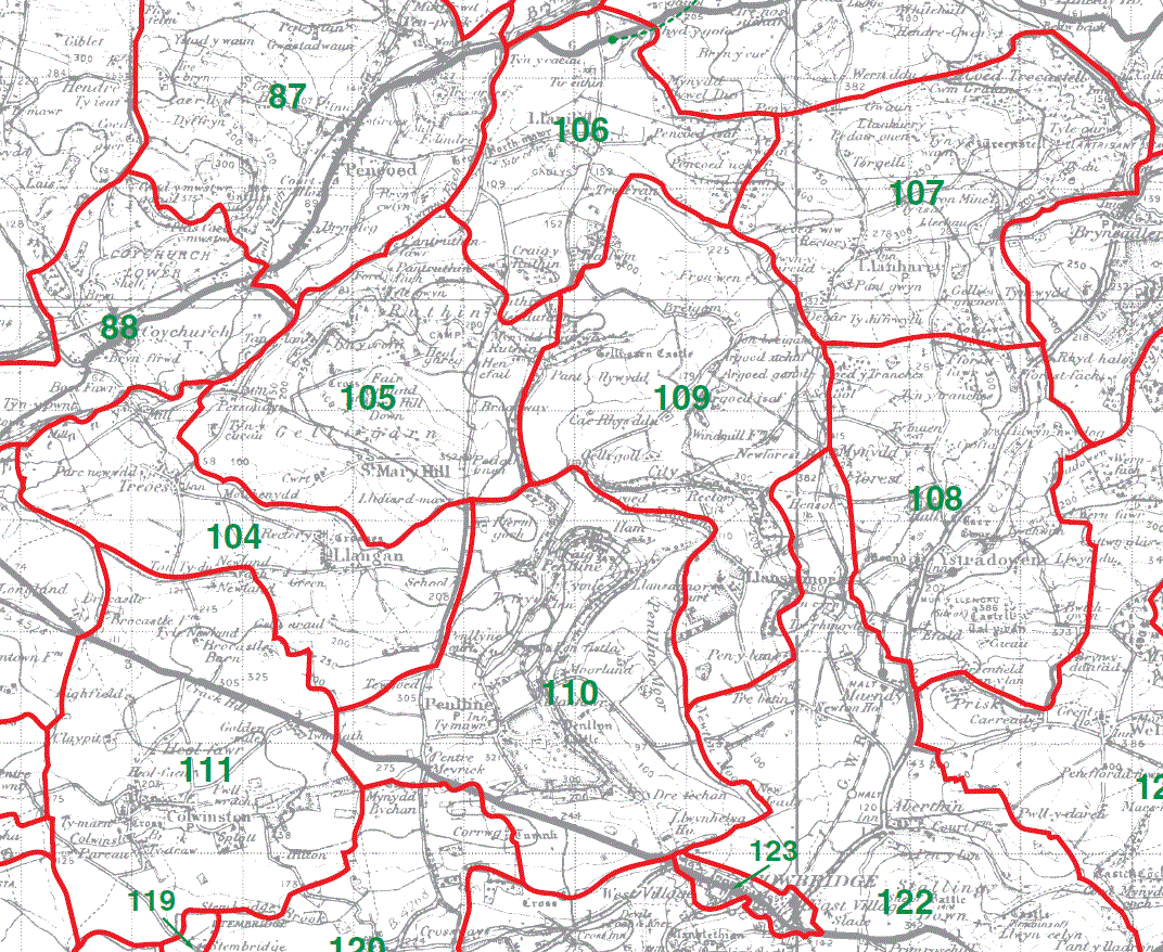
Llangan Parish Map 104
St Mary Hill Parish Map 105
Llanilid Parish Map 106
Llanharry Parish Map 107
Ystradowen Parish Map 108
Llansannor Parish Map 109
Penllyn Parish Map 110
Colwinston Parish Map 111
This map is extracted from:
Kain, R.J.P., Oliver, R.R., Historic Parishes of England and Wales: an Electronic Map of Boundaries before 1850 with a Gazetteer and Metadata [computer file]. Colchester, Essex: History Data Service, UK Data Archive [distributor], 17 May 2001. SN: 4348.
Acknowledgement is made to R.J.P. Kain, R.R Oliver, the Economic and Social Research Council, the History Data Service and the UK Data Archive. [Last Updated : 22 Nov 2012 - Gareth Hicks]