
Hide
Parish Maps from 'Historic Parishes of England and Wales - Boundaries before 1850'
hide
Hide
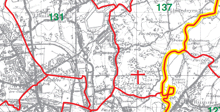
Llanishen Parish Map part131
Bedwas (see Monmouthshire) 132
Rudry Parish Map 133
Machen (see Monmouthshire) 134
Michaelstone y Vedw (see Monmouthshire) 135
Lisvane Parish Map 136
Llanedeyrn Parish Map part 137

LlanishenParish Map part 131
Llanedeyrn Parish Map part 137
| <
|
|
This map is extracted from:
Kain, R.J.P., Oliver, R.R., Historic Parishes of England and Wales: an Electronic Map of Boundaries before 1850 with a Gazetteer and Metadata [computer file]. Colchester, Essex: History Data Service, UK Data Archive [distributor], 17 May 2001. SN: 4348.
Acknowledgement is made to R.J.P. Kain, R.R Oliver, the Economic and Social Research Council, the History Data Service and the UK Data Archive. [Last Updated : 22 Nov 2012 - Gareth Hicks]