
Hide
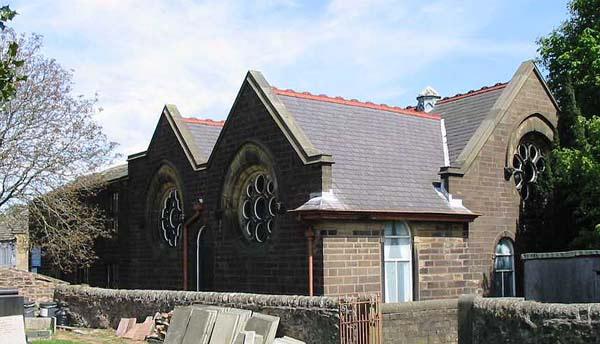
Wheatley Lane Road Inghamite, Wheatley Lane
hide
Hide
Hide
Inghamite church,
Wheatley Lane Road,
Wheatley Lane
Lancashire
Wheatley Lane Road,
Wheatley Lane
Lancashire
Hide
The church has/had a graveyard.
A database of Burials from a transcript of records produced by Revd Mike Rattenbury, was produced by Ian Ormerod and David Ormerod Baxter and is now hosted by CEMSEARCH.
It was founded in 1750.
This site provides historical information about churches, other places of worship and cemeteries. It has no connection with the churches etc. themselves. For current information you should contact them directly.
It is located at SD8387038372 (Lat/Lon 53.841341, -2.246618). You can see this on maps provided by:
- OpenStreetMap
- Google Maps
- StreetMap (Current Ordnance Survey maps)
- Bing (was Multimap)
- Old Maps Online
- National Library of Scotland (Old Ordnance Survey maps)
- Vision of Britain (Click "Historical units & statistics" for administrative areas.)
- English Jurisdictions in 1851 (Unfortunately the LDS have removed the facility to enable us to specify a starting location, you will need to search yourself on their map.)
- Magic (Geographic information) (Click + on map if it doesn't show)
- GeoHack (Links to on-line maps and location specific services.)