
Hide
Lochlee
hide
Hide
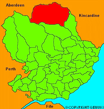
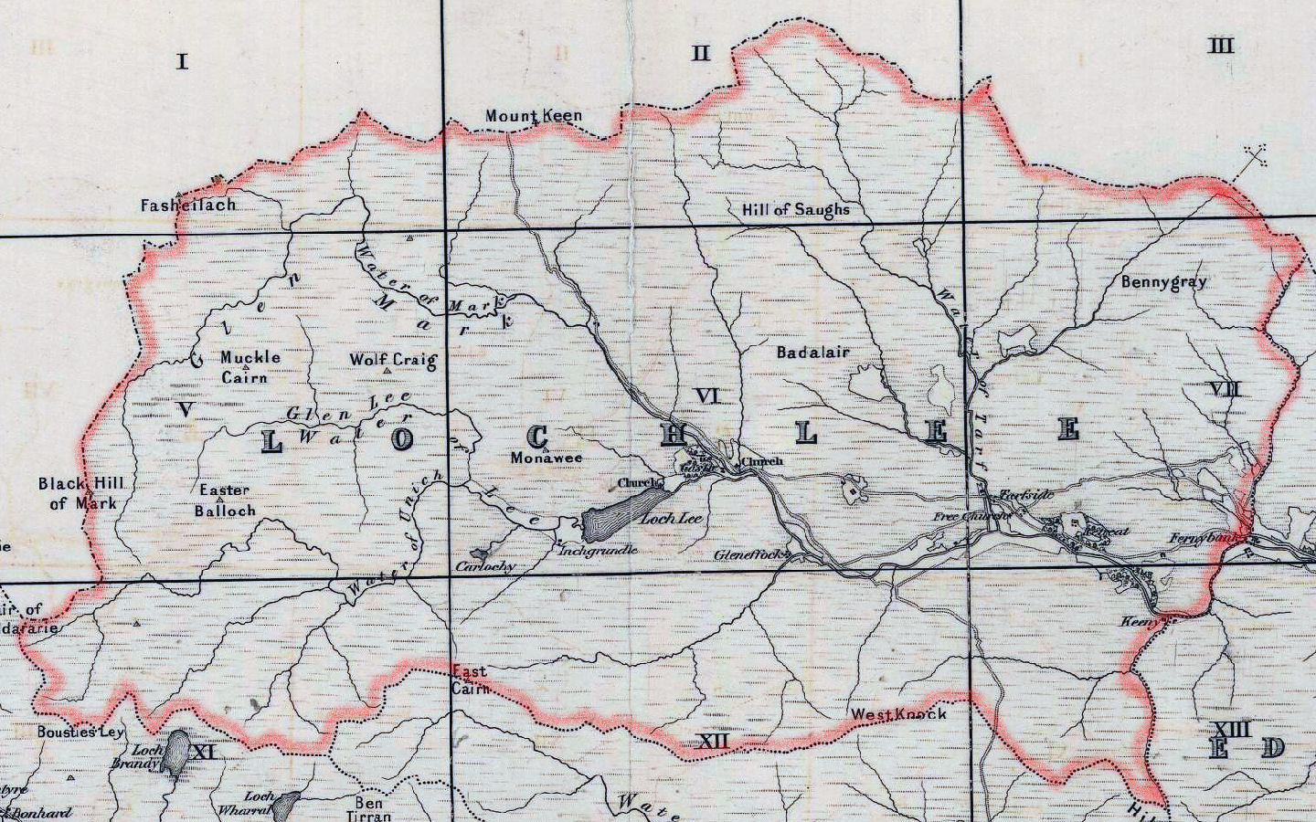
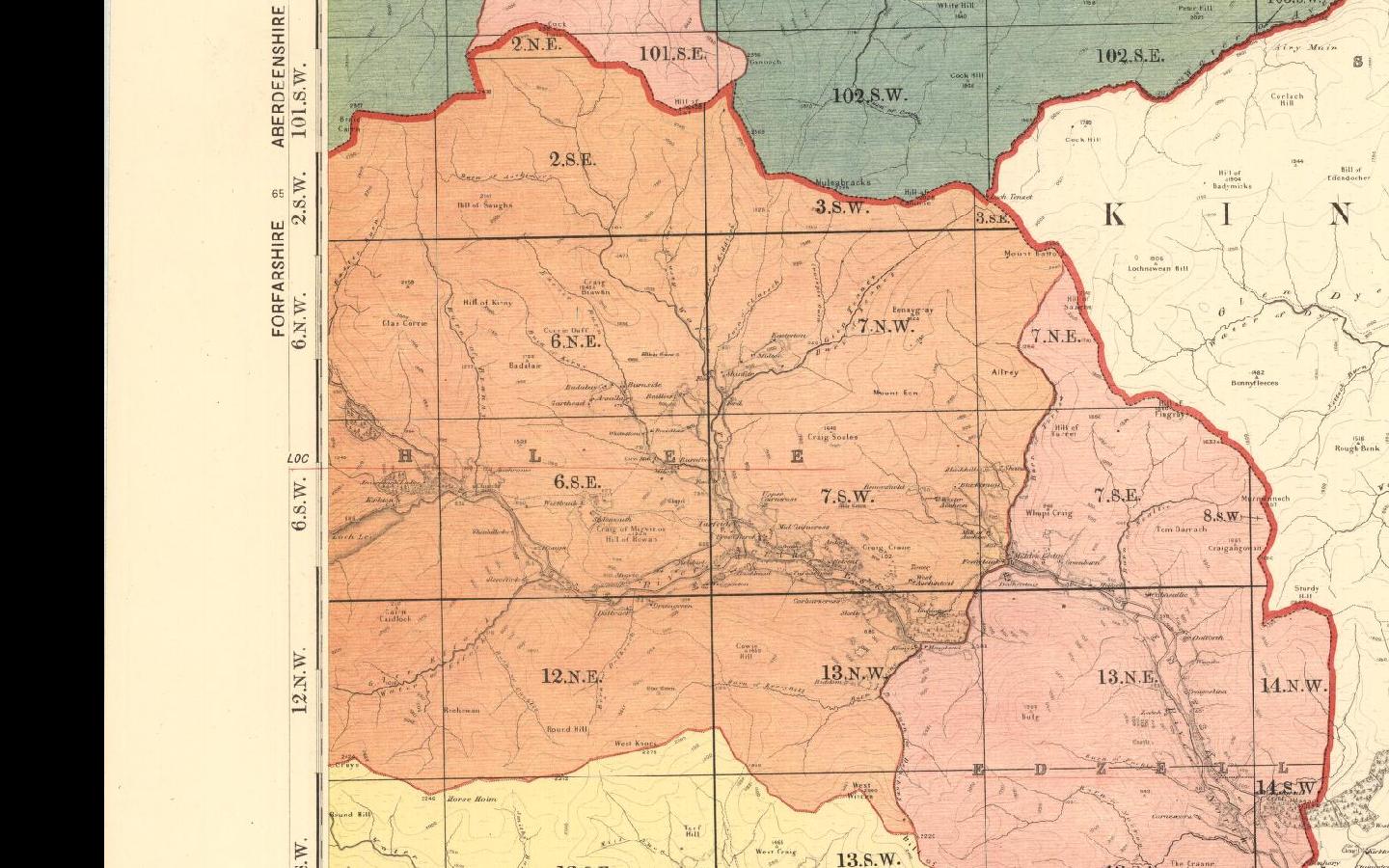
"A parish in Forfarshire, situated amongst the Grampian mountains, and surrounded by them all on all four sides, except towards the East. The inhabited part extends 8 miles in length, and 4 in breadth; but the pasture and waste lands make it 12 miles long, and 6 broad. The hills are for the most part steep, rocky and covered with heath, the cultivated land excepted, the extent of which is inconsiderable; and the soil is thin and light, generally on a bottom of gravel, intermixed with stones. ABout 9200 sheep, and 600 black cattle, are fed on the hills. The principle branches of the river North Esk, called the Lee, the Mark and the tarf, have their sources from lakes of the same name in this parish. The district formerly belonged to the family of Lindsay, who had their residence at Invermark, about a mile from the church, the walls of which only are standing. The whole parish is now the property of the Hon W Ramsay Maule of Panmure. The rocks abound with limestone, and a vein of lead ore has been traced for several miles, in a direction nearly from East to West; but it has not been found worth working."
The Gazetteer of Scotland, W Chalmers, Dundee 1803.
Hide
| St Drostane, Tarfside/Lochlee, Scottish Episcopal |
| Lochlee Parish Church, Lochlee, Church of Scotland |
| Maule Memorial Church, Glen Esk, Church of Scotland |
Lochlee - Registration District 303
Geographic centre of Lochlee Parish
- Lattitude: 56° 54' 41.76" North
- Longitude: 2° 54' 41.04" West
- GOOGLE map parameters: 56.9116, -2.9114
Postal(Zip) District: DD9 7XX
STD Telephone Code: 01356
Areas covered by this code
- Brechin
- Careston
- Edzell
- Fern
- Tarfside (Lochlee)
- Menmuir
UK Ordnance Survey Map Information
Grid ref: NO446804, X: 344600m, Y: 780400m
Nearest Transport Links
Montrose Railway Station
21.6 miles
34.7 kmMotorway Junction
M90 Jnct 11
40.9 miles
65.8 kmDundee Airport (Riverside)
31.9 miles
51.3 km
- The transcription of the section for Lochlee from the National Gazetteer (1868) provided by Colin Hinson.
- Ask for a calculation of the distance from Lochlee to another place.
You can see maps centred on OS grid reference NO434812 (Lat/Lon: 56.919075, -2.931964), Lochlee which are provided by:
- OpenStreetMap
- Google Maps
- StreetMap (Current Ordnance Survey maps)
- Bing (was Multimap)
- Old Maps Online
- National Library of Scotland (Old Ordnance Survey maps)
- Vision of Britain (Click "Historical units & statistics" for administrative areas.)
- Magic (Geographic information) (Click + on map if it doesn't show)
- GeoHack (Links to on-line maps and location specific services.)
- All places within the same township/parish shown on an Openstreetmap map.
- Nearby townships/parishes shown on an Openstreetmap map.
- Nearby places shown on an Openstreetmap map.