
Hide
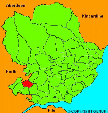
Newtyle
hide
Hide
"About 13 miles long and 1 mile broad, including a part of the Sidlaw Hills, particularly the Glack of Newtyle, an opening in that ridge, which affords a passage from Strathmore to Dundee. The surface North of the Sidlaw Hills is flat and fertile; the soil is a black loam and clay. The village of Newtyle, situated on the road from Dundee to Meigle, 3 miles form the latter, contains 230 inhabitants, mostly weavers."
The Gazetteer of Scotland, W Chalmers, Dundee 1803.
Hide
| Newtyle Church, Newtyle, Church of Scotland |
- The transcription of the section for Newtyle from the National Gazetteer (1868) provided by Colin Hinson.
- Ask for a calculation of the distance from Newtyle to another place.
You can see maps centred on OS grid reference NO308411 (Lat/Lon: 56.556301, -3.127917), Newtyle which are provided by:
- OpenStreetMap
- Google Maps
- StreetMap (Current Ordnance Survey maps)
- Bing (was Multimap)
- Old Maps Online
- National Library of Scotland (Old Ordnance Survey maps)
- Vision of Britain (Click "Historical units & statistics" for administrative areas.)
- Magic (Geographic information) (Click + on map if it doesn't show)
- GeoHack (Links to on-line maps and location specific services.)
- All places within the same township/parish shown on an Openstreetmap map.
- Nearby townships/parishes shown on an Openstreetmap map.
- Nearby places shown on an Openstreetmap map.