
Hide
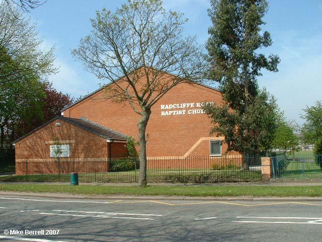
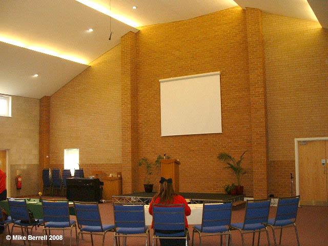
Radcliffe Rd, Bury, Baptist
hide
Hide
Photograph supplied by & Copyright of Mike Berrell.
Hide
Baptist church,
Radcliffe Rd,
Bury
Hide
The church moved to Radcliffe Road in 1983 from the Providence Chapel.
It is located at SD8000809430 (Lat/Lon 53.581076, -2.303431). You can see this on maps provided by:
- OpenStreetMap
- Google Maps
- StreetMap (Current Ordnance Survey maps)
- Bing (was Multimap)
- Old Maps Online
- National Library of Scotland (Old Ordnance Survey maps)
- Vision of Britain (Click "Historical units & statistics" for administrative areas.)
- English Jurisdictions in 1851 (Unfortunately the LDS have removed the facility to enable us to specify a starting location, you will need to search yourself on their map.)
- Magic (Geographic information) (Click + on map if it doesn't show)
- GeoHack (Links to on-line maps and location specific services.)