
Hide
St John The Evangelist, Knotty Ash, Church of England
hide
Hide
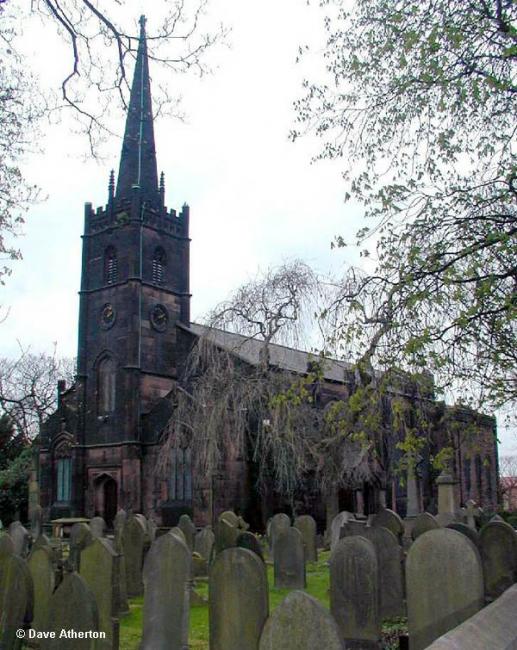
Photograph supplied by & Copyright of Dave Atherton.
Hide
St John The Evangelist,
Thomas Lane,
Knotty Ash
Lancashire
Hide
Baptisms
1852-1858
Copy of Bishop's Transcript of baptisms 1852-1858 held by Lancashire Archives - DRL 2/452
1868
Copy of Bishop's Transcript of baptisms 1868 held by Lancashire Archives - DRL 2/452
1892-1893
Copy of Bishop's Transcript of baptisms 1892-1893 held by Lancashire Archives - DRL 2/452
1892-1893
Copy of Bishop's Transcript of burials 1892-1893 held by Lancashire Archives - DRL 2/452
It is located at SJ4086091406 (Lat/Lon 53.416128, -2.89126). You can see this on maps provided by:
- OpenStreetMap
- Google Maps
- StreetMap (Current Ordnance Survey maps)
- Bing (was Multimap)
- Old Maps Online
- National Library of Scotland (Old Ordnance Survey maps)
- Vision of Britain (Click "Historical units & statistics" for administrative areas.)
- English Jurisdictions in 1851 (Unfortunately the LDS have removed the facility to enable us to specify a starting location, you will need to search yourself on their map.)
- Magic (Geographic information) (Click + on map if it doesn't show)
- GeoHack (Links to on-line maps and location specific services.)