
Hide
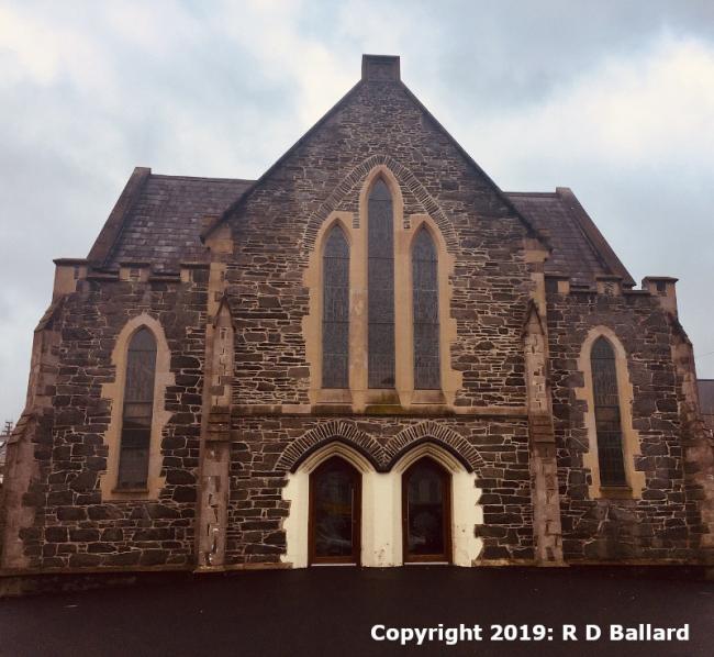
2nd Presbyterian, High Street, Holywood, Presbyterian (Seceders)
hide
Hide
Hide
Hide
It is located at NW5263834070 (Lat/Lon 54.640911, -5.835123). You can see this on maps provided by:
- OpenStreetMap
- Google Maps
- Bing (was Multimap)
- Vision of Britain (Click "Historical units & statistics" for administrative areas.)
- Copy
2nd Presbyterian, High Street, Holywood, Presbyterian (Seceders)and paste it along with the county name into the search box at Ordnance Survey Ireland. - GeoHack (Links to on-line maps and location specific services.)