Hide
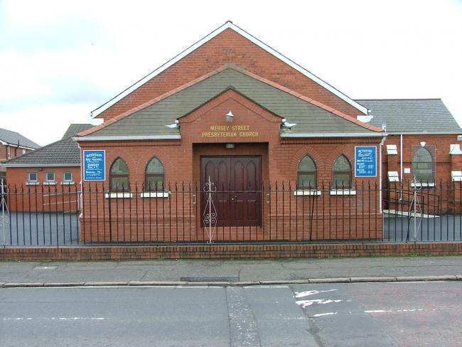
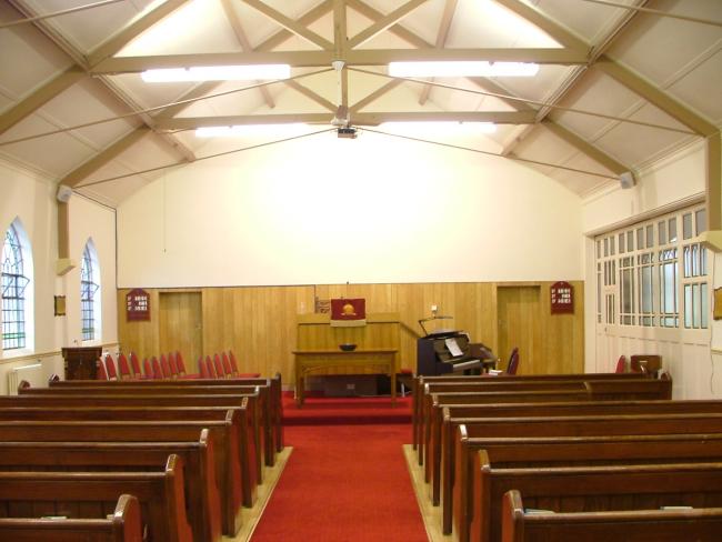
Mersey Street, Ballymacarrett, Presbyterian
hide
Hide
Hide
Hide
The history of Mersey Street Presbyterian Church begins at the turn of the 20th century, when a Sunday School was established in the dining room of the Victoria Weaving Factory in Severn Street. In time the factory closed, and the Sunday School moved to larger premises in what would later become the local pigeon club. Weekly activities for adults and even a precursor to our modern Mums and Tots commenced in what had come to be known as Severn Street Mission. The Mission operated under the auspices of Megain Memorial Presbyterian Church on the Newtownards Rd.
During the early 1920s, largely as a result of the work of the evangelist WP Nicholson, the Mission had an influx of new members and were outgrowing their premises. In May 1930, Megain Memorial acquired land in Mersey Street to build a Church for those who attended Severn Street Mission. The new Church was opened on 6th February 1932. In that year alone at least 40 people became Christians through the outreach of the church and subsequently joined it. The Mission Church flourished with some 350 children attending the Sunday school by 1934.
The 1930s were a time of economic depression and the congregation was situated in an area of poverty and social need. Curiously by today's standards, many who professed faith ceased attending church because they could not afford to buy good clothes to attend in. Two sisters were converted but only one of them at a time ever attended church. When the evangelist, Mr William Kennedy, enquired as to the reason, he found that they one had one decent coat and hat between them, and took turns wearing it to Sunday worship.
The congregation was served by a succession of evangelists and assistant ministers until receiving its first full-time Presbyterian Minister in 1991.
- OpenStreetMap
- Google Maps
- Bing (was Multimap)
- Vision of Britain (Click "Historical units & statistics" for administrative areas.)
- Copy
Mersey Street, Ballymacarrett, Presbyterianand paste it along with the county name into the search box at Ordnance Survey Ireland. - GeoHack (Links to on-line maps and location specific services.)


