
Hide
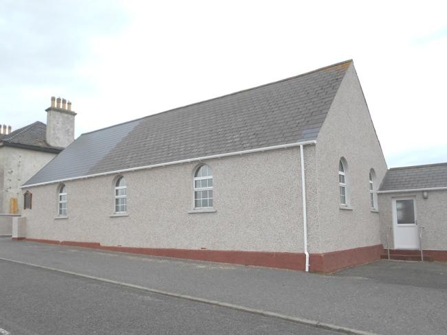
Ness Church, Cross, Free Presbyterian
hide
Hide
©2017
Hide
Free Presbyterian Church,
Ness,
Isle of Lewis
Hide
Shortcut for not defined in the taxonomy term.
.
It is located at NB5255463665 (Lat/Lon 58.490722, -6.24782). You can see this on maps provided by:
- OpenStreetMap
- Google Maps
- StreetMap (Current Ordnance Survey maps)
- Bing (was Multimap)
- Old Maps Online
- National Library of Scotland (Old Ordnance Survey maps)
- Vision of Britain (Click "Historical units & statistics" for administrative areas.)
- Magic (Geographic information) (Click + on map if it doesn't show)
- GeoHack (Links to on-line maps and location specific services.)