
Hide
Parish Maps from 'Historic Parishes of England and Wales - Boundaries before 1850'
hide
Hide
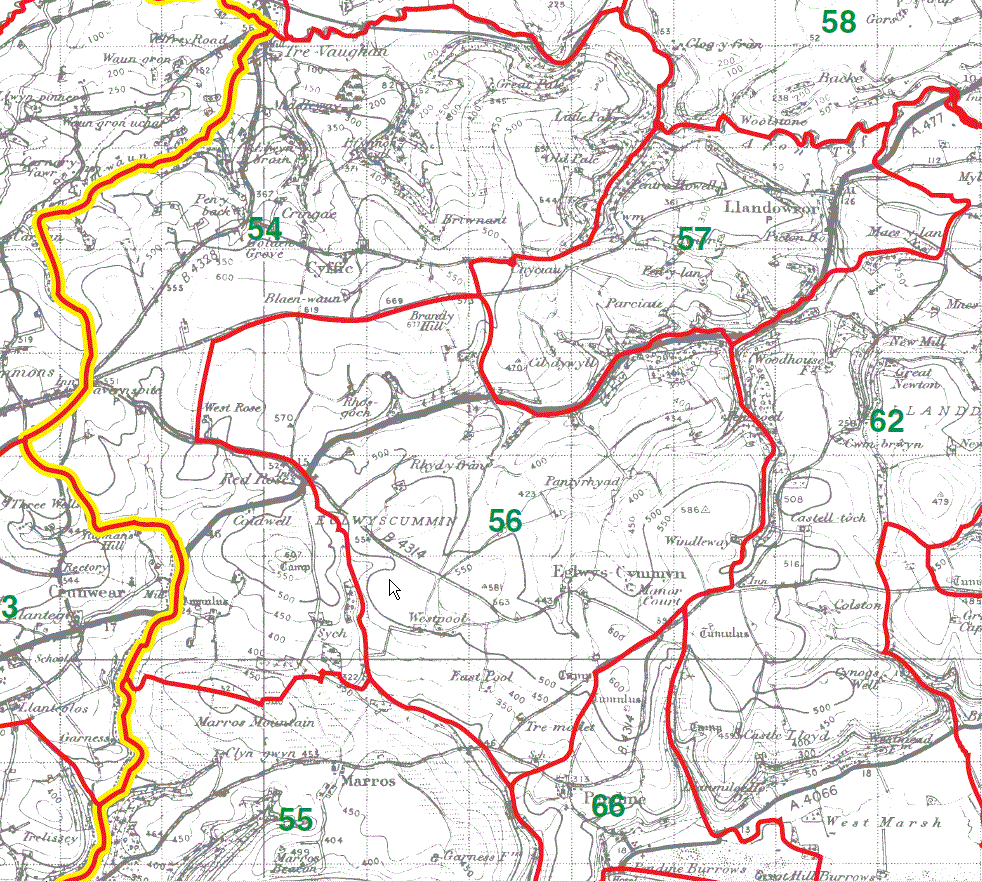
Cyffig Parish Map 54
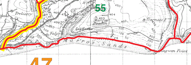
Marros Parish Map part 55
Eglwys Cymyn Parish Map 56
Llanddowror Parish Map 57
Marros Parish Map part 55
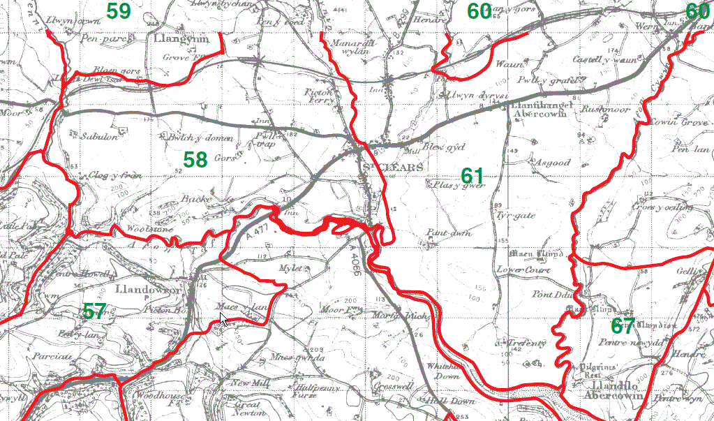
St Clears Parish Map 58
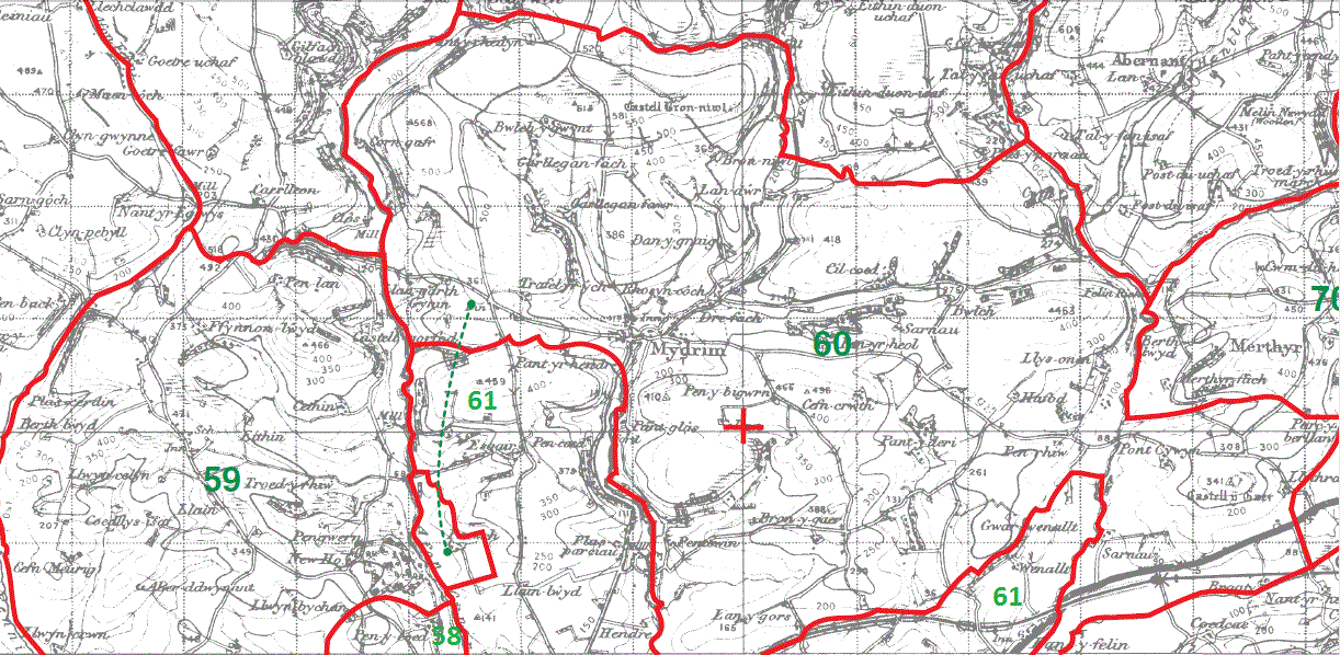
Llangynin Parish Map 59
Mydrim Parish Map 60
Llanfihangel Abercywyn Parish Map 61
This map is extracted from:
Kain, R.J.P., Oliver, R.R., Historic Parishes of England and Wales: an Electronic Map of Boundaries before 1850 with a Gazetteer and Metadata [computer file]. Colchester, Essex: History Data Service, UK Data Archive [distributor], 17 May 2001. SN: 4348.
Acknowledgement is made to R.J.P. Kain, R.R Oliver, the Economic and Social Research Council, the History Data Service and the UK Data Archive.
(Gareth Hicks; 20 Dec 2012)