
Hide
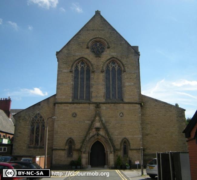
St Joseph, Stockport, Roman Catholic
hide
Hide
Hide
St Joseph,
Tatton Street,
Stockport
Hide
It was founded in 1851.
St. Petersgate/Tatton Street
Church History
Founded in 1862.
Church Records
C = Christenings (Baptisms) ; M = Marriages ; B = Burials ; Conf = Confirmations
| Original Registers | C 1862-1912; M 1863-68, 1882-1934; B 1862-1905 — Cheshire Archives (ERC 16) |
| Microfilm Copies | C 1862-1912; M 1863-68, 1882-1934; B 1862-1905 — Cheshire Archives ; Stockport Heritage Library |
| Copies and Indexes | M 1987-2009 — Cheshire BMD (ST:ST138) |
| Notes | M 1868-82 — see Stockport: St. Michael Conf 1866-74, 1910-70 — Cheshire Archives (ERC 16) Conf 1875-1906 — Cheshire Archives (ERC 17, with Stockport: St. Michael) |
It is located at SJ8960290321 (Lat/Lon 53.409597, -2.157878). You can see this on maps provided by:
- OpenStreetMap
- Google Maps
- StreetMap (Current Ordnance Survey maps)
- Bing (was Multimap)
- Old Maps Online
- National Library of Scotland (Old Ordnance Survey maps)
- Vision of Britain (Click "Historical units & statistics" for administrative areas.)
- English Jurisdictions in 1851 (Unfortunately the LDS have removed the facility to enable us to specify a starting location, you will need to search yourself on their map.)
- Magic (Geographic information) (Click + on map if it doesn't show)
- GeoHack (Links to on-line maps and location specific services.)