Hide
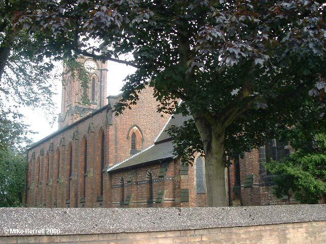
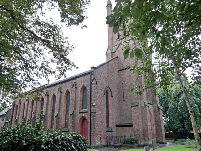
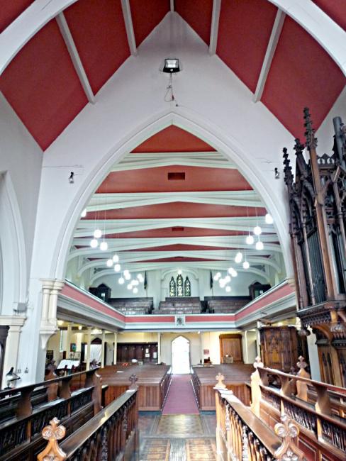
St Matthew, Stretford, Church of England
hide
Hide
Hide
St Matthew,
Chester Road,
Stretford
Hide
It was founded before 1413.
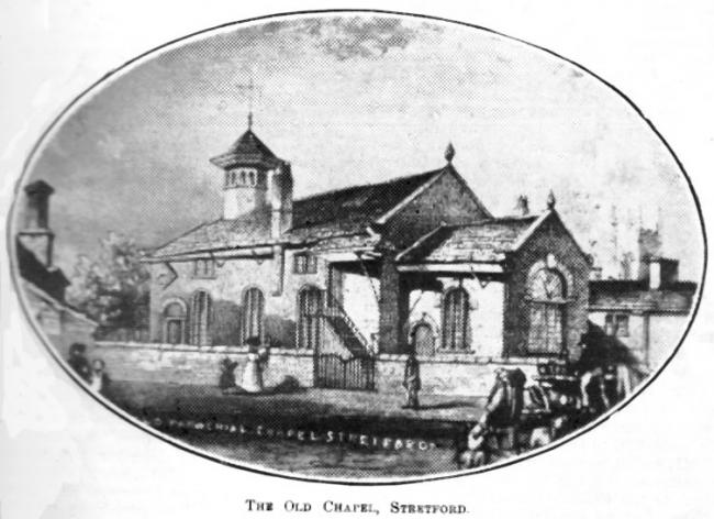
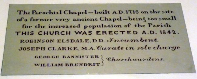
In early medieval days the de Trafford family built a small chapel for their own tenantry and it is known that a chantry existed there in 1413. In 1718 Stretford Chapel was rebuilt on the site of its predecessor. It was furnished with a barrel-organ to provide music for the services even though it was "deficient of notes"; the instrument was augmented by minstrels playing Basvoyle and Oby (Oboe).
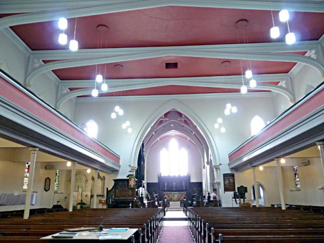
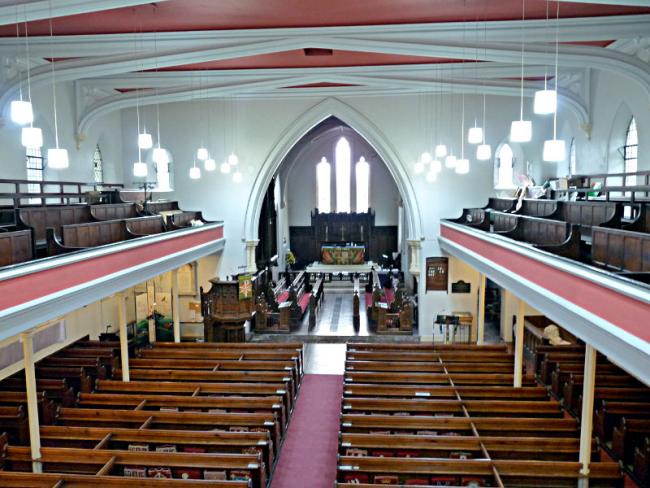
The third Stretford church, St. Matthew's was built on a new and larger site given by Sir Thomas de Trafford in 1841. The church was enlarged in 1863 and the chancel added in 1906.
This site provides historical information about churches, other places of worship and cemeteries. It has no connection with the churches etc. themselves. For current information you should contact them directly.
Baptisms
1598-1837
Transcript of baptisms 1598-1837 by the Lancashire Parish Register Society - Volume 169
1598-1871
1665-1695
1722-1847
Marriages
1598-1769
1598-1837
Transcript of marriages 1598-1837 by the Lancashire Parish Register Society - Volume 169
1665-1695
1722-1754
1835-1883
1841-1845
Burials
1598-1837
Transcript of burials 1598-1837 by the Lancashire Parish Register Society - Volume 169
1598-1855
1665-1695
1722-1847
- OpenStreetMap
- Google Maps
- StreetMap (Current Ordnance Survey maps)
- Bing (was Multimap)
- Old Maps Online
- National Library of Scotland (Old Ordnance Survey maps)
- Vision of Britain (Click "Historical units & statistics" for administrative areas.)
- English Jurisdictions in 1851 (Unfortunately the LDS have removed the facility to enable us to specify a starting location, you will need to search yourself on their map.)
- Magic (Geographic information) (Click + on map if it doesn't show)
- GeoHack (Links to on-line maps and location specific services.)

