
Hide
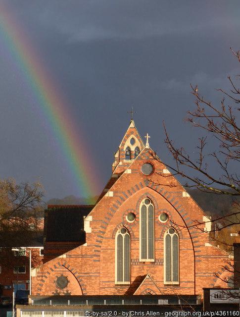
St Paul, Worcester, Church of England
hide
Hide
Hide
St. Pauls
St Paul Street
Worcester
WR1 2BH
Hide
It was founded in 1845 as a district church for St. Peter the great and the Blockhouse area. A new church was built in 1885. This church was made redundant in 1988 and is now leased to The Assemblies of God church. (see separate entry).
Parish registers can be found at Malvern fhs.
https://mfhs.org.uk/projects-2/worcestershire-parish-records/
St. Pauls hostel for the homeless originated in the vicarage of St. Paul's in 1977.
It was located somewhere in the place at SO850550 (Lat/Lon 52.192997, -2.220872). You can see this on maps provided by:
- OpenStreetMap
- Google Maps
- StreetMap (Current Ordnance Survey maps)
- Bing (was Multimap)
- Old Maps Online
- National Library of Scotland (Old Ordnance Survey maps)
- Vision of Britain (Click "Historical units & statistics" for administrative areas.)
- English Jurisdictions in 1851 (Unfortunately the LDS have removed the facility to enable us to specify a starting location, you will need to search yourself on their map.)
- Magic (Geographic information) (Click + on map if it doesn't show)
- GeoHack (Links to on-line maps and location specific services.)